Ask how many wine regions France has and you will get a number between eleven and several hundred, depending on who is answering and what they think a region is. A tourist board wants a round figure. A regulator wants a legal list. A geographer wants a watershed. None of them are wrong, and none of them agree. We draw wine regions from real geography — rivers, slopes, the towns that anchor a valley — so this question lands on our desk often, usually from readers who have already been given three different answers and want to know why. Rather than pick one, we will walk through three ways of counting: a traveller's map, a student's appellation list, and a cartographer's river basin. Each produces a different France.
Before the scenarios: a note on method. We treat each counting frame as a hypothetical reader with a hypothetical need. None of the three below is a real person we interviewed. They are composite illustrations, each built to show what a specific way of counting reveals — and what it hides. Read them as three lenses over the same country, not as three profiles competing for a single correct answer.
Scenario 1: The Traveller Counting on a Paper Map
Imagine a reader unfolding a wine map of France on a kitchen table on a Sunday afternoon. They are planning two weeks by train and hire car, and they want a number they can plan against. Not a legal list. A number of places they could actually go. Let us call this the traveller's count.
On a paper map — the kind sold in bookshops in Bordeaux or Beaune, the kind French tourist boards print in bulk — France resolves into somewhere between ten and thirteen regions. The exact figure depends on the map. A common list runs: Bordeaux, Burgundy, Champagne, the Loire Valley, the Rhône Valley, Alsace, Languedoc-Roussillon, Provence, the Southwest, Beaujolais, Jura, Savoie, and Corsica. Twelve if you fold Beaujolais into Burgundy, thirteen if you separate Languedoc from Roussillon, eleven if you fold Savoie into the Rhône.
That is the entire debate on this level of the map. Round numbers, geographic common sense, and a bias toward what a visitor can reach on a two-week itinerary. The traveller's frame treats Bordeaux as a single region — a wedge between the Garonne and the Dordogne, anchored by Bordeaux, Saint-Émilion and Pauillac. It treats Burgundy as a single region — the golden slope of the Côte d'Or, running through Dijon, Beaune and Nuits-Saint-Georges. It treats Champagne as a single region — the chalk hills north of the Marne, anchored by Reims, Épernay and Aÿ.
At this scale, sub-zones are noted but not counted. The traveller sees that Bordeaux contains Médoc, Saint-Émilion, Graves and Sauternes. They see that Burgundy divides into the Côte de Nuits and the Côte de Beaune. They see that Champagne runs across the Montagne de Reims, the Vallée de la Marne and the Côte des Blancs. But on the paper map these are internal geography, not separate regions. They are the rooms of the house, not the houses.
This is why the "eleven" answer keeps recurring in guidebooks. It is not wrong. It is the number you get if you count the regions you can drive between without crossing another one. It is the number a tourism office will give you because it is the number their brochures are organised around. And it is the number that makes the fewest promises: it says "these are the places," not "these are all the wines."
The traveller's count breaks down the moment they arrive. In Bordeaux the same afternoon can put them on the gravel of the Left Bank and the clay of the Right Bank — two soils, two grape orientations, two economies. Calling that one region is a map convention, not a geographic fact. Which is exactly why the second count exists.
Scenario 2: The Student Counting by Appellation
Now picture a different reader: a wine student halfway through a certification course, sitting with a study guide that lists every French appellation d'origine contrôlée in alphabetical order. They are not counting places. They are counting names — legal names, drawn on legal maps, defended by legal borders. Let us call this the student's count.
The student's number is in the several hundreds. The exact figure moves with each administrative revision, but the order of magnitude is not eleven. It is between three hundred and four hundred distinct appellations, depending on how strictly you separate the AOC level from finer village and vineyard designations. A student who counts every named cru inside the Côte de Nuits arrives at a different total than one who stops at "Côte de Nuits" as a single line item. Both are counting appellations. They are simply drawing the border at different depths.
To see how this scales, hold the student's lens over the three regions in our grounding. Bordeaux on a paper map is one region. On an appellation map it is dozens: Médoc has its own AOC, and inside Médoc, Pauillac, Saint-Estèphe, Saint-Julien and Margaux each have theirs. Saint-Émilion is a separate AOC and contains further classifications inside it. Graves is one AOC and contains Pessac-Léognan as another. Sauternes is its own. That is one traveller-region producing a double-digit appellation count on its own.
Burgundy scales harder. The Côte d'Or is not a single line on the student's list — it is a ladder. Regional appellations sit at the bottom. Village appellations sit above them: Gevrey-Chambertin, Nuits-Saint-Georges, Pommard, Meursault. Premier cru vineyards sit above those. Grand cru vineyards sit at the top, and a single grand cru — a single walled slope of a few hectares — occupies its own line on the AOC roll. Counted this way, Burgundy alone produces more named appellations than the traveller counted for all of France.
Champagne behaves differently. It is one AOC, legally speaking — a single protected name — but its internal geography splits into three broadly agreed sectors: the Montagne de Reims, the Vallée de la Marne, and the Côte des Blancs. The student's frame recognises this as one line on the list, with an asterisk. The exception proves the frame: appellations are legal objects, and Champagne's law happens to draw one large object where Bordeaux's law draws many small ones.
The student's count is honest about one thing. It does not claim to describe geography. It describes law. Every number it produces is a decision made by a French regulator about where one protected name ends and the next begins. Those decisions were shaped by geography, history, and lobbying in roughly that order — but they are not geography themselves. They are administration.
 Bordeaux
The print from this article · from €29.95
View the print →
Bordeaux
The print from this article · from €29.95
View the print →
Scenario 3: The Cartographer Counting by River Basin
The third reader is the one we recognise most easily from our own studio table. Picture a cartographer with a hydrological map of France and no wine list at all — just watersheds, ridgelines and river mouths. They ask a different question: how many distinct river systems produced France's wine geography? The answer they arrive at is smaller than the student's and different in shape from the traveller's. Let us call this the cartographer's count.
Reduced to rivers, French wine collapses into a handful of major basins. Bordeaux is the Garonne-Dordogne estuary — two rivers meeting at the Gironde, gravel washed down from the Massif Central on one bank, clay-limestone on the other. Burgundy is a slope reading down toward the Saône, the eastern flank of the Massif Central catching morning light on chalk and marl. Champagne is a chalk shelf north of the Marne, a river that cuts a shallow east-west corridor through the last workable latitude for ripening grapes at scale.
To those, the cartographer adds the Loire, running west across northern France and threading through several traveller-regions on its way to the Atlantic. The Rhône, running south from the Alps through the corridor between the Massif Central and the Pre-Alps. The Rhine tributary system — the Ill in Alsace — that pins vineyards to the eastern side of the Vosges rain shadow. The rivers of the Southwest that feed the Garonne but drain their own valleys first: the Lot, the Tarn, the Adour. The rain-poor Mediterranean coast that has almost no river at all in the wine-relevant sense, which is itself the geographic explanation for Languedoc.
Counted this way, France has perhaps six or seven wine geographies, not eleven and not four hundred. Each one is a river system, a slope orientation, and a rain shadow acting together. The Champagne shelf ripens grapes at the latitudinal limit because chalk stores heat and the Marne carves a corridor that admits enough sun. The Côte d'Or ripens grapes because a specific east-facing wall of the Saône valley catches morning light before the afternoon clouds arrive. Bordeaux ripens grapes because the estuary moderates the Atlantic and the Garonne's gravel drains its rain. None of these are appellation facts. All of them are watershed facts.
The cartographer's count is the smallest of the three, and it is the one that survives translation. Move a French vine to a similar latitude and river slope elsewhere and you can approximate a French wine. Move it to a different watershed and you get something else entirely. That is what the number is measuring.
What All Three Share
The three counts disagree on the number and agree on almost everything else. All three treat wine regions as a function of place, not of grape variety or style. None of them counts "Chardonnay" as a region or "sparkling" as a region. Grapes and methods travel; places do not.
All three lean on the same underlying geography, even when they present different totals. The traveller's Bordeaux is the estuary between the Garonne and the Dordogne. The student's several Bordeaux appellations are subdivisions of that same estuary. The cartographer's Garonne-Dordogne basin is the estuary itself, described in hydrological rather than administrative terms. The number changes; the ground does not.
All three are silent on the question they are most often asked to answer, which is which region is best. None of them ranks. The traveller's map orders regions by convenience of visit. The student's list orders them by legal identity. The cartographer's map orders them by watershed. None of these is a quality hierarchy. Quality is a producer-level fact, not a region-level fact, and every honest wine map draws the border and stops there.
Finally, all three agree on the direction the number moves as you zoom in. Zoom out, and France has a small number of wine geographies. Zoom in, and it has an enormous number of protected names. The gap between eleven and four hundred is not a contradiction; it is the same country described at two different focal lengths.
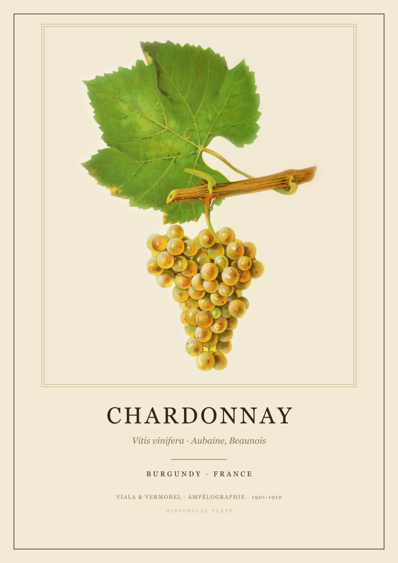
 Burgundy
The print from this article · from €29.95
View the print →
Burgundy
The print from this article · from €29.95
View the print →
Which Scenario Is You
If you are planning a trip and want a number you can point at on a paper map, the traveller's count is the honest answer: roughly eleven to thirteen regions, and you can walk yourself through them without a legal textbook.
If you are studying for a certification, reading a back label, or trying to understand why two neighbouring villages produce wines at different price points, the student's count is the one you need. It is the largest of the three, and it is the only one that maps to the words on the bottle.
If you are trying to understand why French wine looks the way it does — why a slope faces east, why chalk survived under the Marne, why gravel piled up along the Left Bank — the cartographer's count is the one that will keep working after you close the textbook. It is the count our studio draws to, because it is the count that survives when the appellations are redrawn again, which they will be.
The three do not compete. They stack. Pick the one that answers the question you were actually asking, and know that the other two are still true underneath it.
FAQ
Is there an official number of wine regions in France?
There is no single official number. The French regulator (INAO) maintains a list of appellations, which runs into the several hundreds. Tourism authorities publish a much shorter list, typically between eleven and thirteen large regions. Neither list contradicts the other — they measure different things. One measures legal names, the other measures traveller-scale geography. Both are official in their own domain, and neither is meant to be a definitive count of everything the word "region" could mean.
Why do Bordeaux and Burgundy show such different appellation totals?
The two regions apply the same legal framework to very different geographies. Bordeaux organises itself around left-bank and right-bank estuary zones, each carrying its own AOC. Burgundy layers appellations vertically — regional, village, premier cru, grand cru — down to walled vineyards of a few hectares. Burgundy's slope produces more named units because its geology changes over metres rather than kilometres. Bordeaux's broader alluvial zones produce fewer, larger appellations. The difference is geographic, not administrative.
Does Champagne count as one region or three?
Both answers are defensible. Legally, Champagne is a single appellation covering the chalk hills north of the Marne. Geographically, it divides into three widely recognised sectors: the Montagne de Reims, the Vallée de la Marne, and the Côte des Blancs. A student's list will show Champagne once. A geographer's map will show three sub-zones. Neither is wrong — they are answering different questions about the same chalk shelf.
What role does the Loire play if it is not in the grounding for this article?
The Loire is a working example of how a single river system can produce many traveller-regions along its length. From Sancerre near the source to Muscadet at the mouth, the same river threads several distinct wine geographies. It is a good illustration of why the cartographer's count — by river basin — sometimes produces smaller numbers than the traveller's map, and sometimes larger, depending on where you cut the basin.
Are Beaujolais and Burgundy the same region or different?
Depends on the counter. On a paper map they are often shown together because they share a north-south axis south of Mâcon. On the appellation list they are legally distinct. Geographically, Beaujolais sits on granite while Burgundy proper sits on limestone and marl, which is why the wines behave differently despite the shared axis. Most modern references treat them as separate regions on the strength of that soil boundary.
What about Corsica — is it counted as a French wine region?
Yes on every list that includes it, and it is included on most modern ones. Corsica is an island with its own microclimates and its own appellations, administered under the French system. It falls outside the mainland's continental river-basin logic, which is why the cartographer's count either adds it as a separate case or footnotes it. On the traveller's map and the student's list it appears without qualification.
Which count should I trust when reading a label?
The student's count — the appellation frame. Labels carry legal names, and legal names come from the AOC system. When a label says "Pauillac" or "Chablis" or "Côte-Rôtie," it is referencing an appellation, not a tourist region or a river basin. Learning the appellation logic is the shortest path from a bottle in hand to a place on a map, which is what most label-reading is actually trying to accomplish.
Does this article cover which French region makes the "best" wine?
No, and we would treat any answer to that question as a category error. Quality varies by producer, vintage and style within every region on every one of these lists. Our studio draws regions from geography, not from rankings. If you want a map of where the vines are and why they are there, that is what we make — including prints of Bordeaux, Burgundy and Champagne, available at see the Bordeaux print. What to drink from those regions is a question for a different desk.

New regions and 10% off your first print.
One email now with your code. No noise after.