The most reproduced image in wine writing is a coloured patchwork of Burgundy climats, printed on tea towels and pinned above wine bars from Melbourne to Minneapolis. It is a beautiful piece of graphic design and a poor piece of geography. The Côte d'Or is not a mosaic. It is a wall — a limestone escarpment roughly sixty kilometres long, running south from Dijon along the western edge of the Saône plain, tilted just enough east to catch the morning light. Everything Burgundy is famous for follows from that single geological accident, and almost every online explainer draws around it rather than through it.
The Map Every Wine Blog Draws Is the Wrong Map
Type "burgundy wine map" into Google Images and count the first twenty results. Nineteen will be some variant of the same object: a flat, top-down cartoon of the Côte d'Or with village boundaries filled in with pastel colours, grand crus in gold, premier crus in orange, villages in beige. It is the wine-education equivalent of a metro diagram — legible, memorable, and structurally dishonest about what it is describing.
The problem isn't decoration. It is that the map hides the only fact that matters. A metro map is allowed to lie about geometry because trains do not care about geography; they care about topology. Vines are the exact opposite. A vine cares about slope angle, about which direction the sun hits at nine in the morning in April, about whether the rain drains through fifty centimetres of colluvium or sits in clay, about whether the cold air from the plateau slides down over the block at four in the morning in May and freezes the buds. None of that survives a top-down colour grid. You cannot see a slope from above. You have to look at it from the side.
The result is that most Burgundy explainers online read like shopping catalogues. Here are the villages in order. Here are the grand crus, ranked by prestige. Here is a paragraph about how "terroir matters" written in a tone somewhere between mysticism and MBA pitch deck. The reader learns names and pecking orders and comes away with the impression that Burgundy is a spreadsheet of prestige tiers laid flat on a plain. It is not. It is a wall, and the pecking order is a consequence of where you are standing on that wall.
We say this without pleasure, because we make maps for a living and we understand the appeal of the patchwork version. Boundaries render well. Slopes do not. A studio print of Burgundy climats as flat polygons sells; a studio print of a limestone escarpment in cross-section is a harder object to want on a wall. But wanting a map and understanding a map are two different things, and this piece is about the second.
The Wall Runs South From Dijon, and the Sun Does the Rest
The Côte d'Or is, in the most literal sense, an edge. West of it lies a limestone plateau that rises gently toward the Morvan hills. East of it lies the flat, sedimentary floor of the Saône plain, the river that eventually joins the Rhône at Lyon and gives southern Burgundy its climate. Between plateau and plain, the rock breaks. That break — a long fault line running almost due north-south — is the wall.
Because the fracture runs almost north-south, the exposed face of the escarpment looks east, or a shade south of east. This is the geographical accident Burgundy is famous for. A vine planted on that face receives direct sunlight from just after sunrise, when the leaves are still cool and photosynthesis is at its most efficient, and loses it by mid-afternoon. In a marginal climate — Burgundy sits on the northern edge of where Pinot Noir will ripen at all in most vintages — morning sun is not a luxury. It is the difference between a wine and a failed harvest.
The wall is not a single clean cliff. It has embayments where side valleys cut back into the plateau, called *combes*, and the best-known climats often sit on the shoulders of those combes rather than on the main face. A combe funnels cooler air, changes the wind, and gives a vineyard on its southern shoulder a subtly different exposure than the block a hundred metres away. This is why two vineyards that look adjacent on a top-down map can produce wines with recognisably different profiles. In three dimensions, they are not adjacent at all.
Then there is height. The escarpment is only two hundred to three hundred metres tall at its most dramatic, but the vine band uses roughly the middle third of that. The top of the slope is too thin, too exposed, too cold; the flat land at the foot is too fertile, too damp, historically too flood-prone. The famous vineyards sit in a narrow horizontal ribbon — the mid-slope — where drainage is good, soil is thin enough to stress the vine, and the sun angle is right. The grand crus are almost all on that band. This is not because medieval monks had access to modern viticulture. It is because a thousand years of watching which parcels ripened first and best pushed the boundary of quality onto the exact geological sweet spot the wall provides.
None of this is invisible on the ground. Anyone who has driven the D974 south from Dijon toward Beaune has seen it: the vines climb the west side of the road onto the slope; the east side, on the plain, is farmland, cereal, the occasional industrial shed. The line between vine and non-vine is the line where the wall stops. The appellation boundary is a geological one long before it is a legal one. The legal system simply wrote down what the rock had already decided.
This is what the coloured mosaic map cannot show. It shows *where* the villages are but not *why* they are there. A newcomer staring at a Wine Folly-style graphic will learn that Vosne-Romanée is between Nuits-Saint-Georges and Chambolle-Musigny. They will not learn why the vines stop at a particular contour line, why the ones two hundred metres higher are pine forest, why the ones two hundred metres lower are corn. They will not learn that the wall is what they are actually reading. That absence is the reason the coloured map is worse than useless as an explainer — it teaches the reader to see Burgundy as a jigsaw of names when it is, in reality, a single continuous piece of geology tilted at the right angle to the sun.
 Burgundy
The print from this article · from €29.95
View the print →
Burgundy
The print from this article · from €29.95
View the print →
Côte de Nuits and Côte de Beaune Are Not Two Regions. They Are One Slope Interrupted.
The other division that most explainers get structurally wrong is the split between the Côte de Nuits, the northern half of the escarpment, and the Côte de Beaune, the southern half. Read enough wine writing and you will come to believe these are two distinct regions with two distinct characters, treated in separate chapters, discussed in separate breaths. The Côte de Nuits is where the great reds sit — Pinot Noir from Gevrey-Chambertin down through Vosne-Romanée to Nuits-Saint-Georges at the southern end. The Côte de Beaune is where Chardonnay dominates, and where Beaune, Pommard, Meursault and Puligny-Montrachet sit. All of that is true. The way it is usually framed makes them sound like two neighbouring countries. They are not. They are one slope, briefly interrupted.
The interruption is the Combe de Brochon and, further south, the geographical break around Ladoix-Serrigny, where a small massif — the Corton hill — sits at an angle to the main escarpment. That hill is the hinge. North of it, the wall runs one way; south of it, the wall changes orientation slightly, and the aspect of the slope tilts. The change is not dramatic, but it is enough to shift which grape variety historically ripened best on a given exposure. The reason red Pinot Noir dominates the north and white Chardonnay dominates the south is not that the two regions have different souls. It is that the wall subtly changes angle, and a thousand years of trial and error planted the grape that ripened most reliably on each stretch. Even that generalisation is soft: there are outstanding whites in the Côte de Nuits and outstanding reds in the Côte de Beaune. The map, again, hides the continuity.
We labour this point because reading the Côte d'Or as one wall rather than two regions changes how you see almost everything else about it. Village boundaries stop being lines that separate one identity from another and start being administrative markers laid over a single geological system. The pecking order of grand crus stops being a mystical hierarchy and starts being a reading of which parts of the wall are on the sweet band and which are marginally off it. The famously microscopic differences between neighbouring premier crus stop being an affectation of French wine culture and start being an honest report of what a combe or a five-degree change in slope aspect actually does to a vine.
There is a version of this article that we could have written by walking through each grand cru in turn, ranking them, explaining what each is supposed to "taste like." We are not going to do that, partly because we do not think grand cru rankings are the useful frame here and partly because we make maps and prints, not tasting notes. The Côte d'Or map we draw at our shop shows the escarpment in cross-section alongside the plan view, precisely because the plan view alone tells the reader only half the story. Everything above is the argument for why that second half matters.
This piece does not cover the Chablis vineyards a hundred and thirty kilometres to the north, which are administratively part of Burgundy but sit on a completely different geological formation and deserve their own essay. It does not cover the Mâconnais or Beaujolais to the south, which extend the Saône corridor into different rock and different weather. It does not attempt a ranking of climats or a producer guide — both are for people who work in the trade, not for a geography desk. And it deliberately avoids the language of tasting notes, because a wine's flavour is a downstream consequence of a slope, and we would rather stay upstream where the map is.
FAQ
Where exactly is the Côte d'Or on a map of France?
The Côte d'Or is an escarpment running roughly north-south in eastern France, on the western edge of the Saône plain in the Burgundy region. Its northern end is near Dijon; its southern end is around Santenay, south of Beaune. Everything wine-famous about "Burgundy" in the narrow sense — the grand cru vineyards, the villages the wine world talks about most — sits on the middle band of that single sixty-kilometre wall.
Why is the Côte d'Or split into the Côte de Nuits and the Côte de Beaune?
The split is partly geographical and partly historical. Around the Corton hill, near Ladoix-Serrigny, the escarpment shifts orientation slightly and a small massif interrupts the main wall. North of that break, the slope favoured red Pinot Noir; south of it, white Chardonnay dominated. The two names describe two stretches of the same wall, not two independent regions, and the boundary between them is soft rather than sharp.
Which anchor towns should I locate first when reading a Burgundy map?
Dijon at the north end, Beaune in the middle, and Nuits-Saint-Georges between them. If you can place those three towns along the western edge of the Saône plain, you have the skeleton of the Côte d'Or. Villages such as Gevrey-Chambertin, Vosne-Romanée and Meursault then sit along the same line, all draped along the escarpment rather than scattered across a wider area.
Why do so many Burgundy maps use coloured village boundaries instead of showing the slope?
Coloured polygon maps are easier to print, easier to read at a glance, and easier to license as posters. They work as reference diagrams for people who already know the geology and only need to remember which climat is which. As introductions to the region, they leave out the wall itself — the slope, aspect and altitude that made the villages famous in the first place — and so they teach names without teaching cause.
Does the Saône river run through the vineyards?
No. The Saône runs across the plain to the east of the Côte d'Or, several kilometres from the vine band in most places. The vineyards sit on the western edge of that plain, on the escarpment above it, not along the riverbank. The river matters as a wider climate feature — it moderates temperature along its corridor — but the vines themselves are on the slope, not on the floodplain.
Is Chablis part of the Côte d'Or?
No. Chablis is part of the wider Burgundy wine region administratively, but it sits about a hundred and thirty kilometres to the north-west, on a completely different geological formation. It has its own hills, its own aspect issues, and its own story. When people say "the Côte d'Or", they mean the sixty-kilometre escarpment between roughly Dijon and Santenay, and Chablis is not on it.
Why are the grand cru vineyards clustered in the middle of the slope rather than at the top or bottom?
Because the mid-slope has the combination the vine needs: thin, well-drained soil, good morning sun exposure, protection from the coldest air pooling on the plain, and enough altitude to avoid the worst frost damage without losing ripening warmth. The top of the escarpment is too exposed and too cold; the flat land at the foot is too fertile and historically too damp. A thousand years of observation pushed the best parcels onto that narrow horizontal band.
Can I read the Côte d'Or properly from a plan-view map alone?
Not really. A plan-view map tells you where the villages sit relative to each other, which is useful once you already know the shape of the slope. On its own it hides aspect, altitude, and the combes that give neighbouring vineyards their differences. The honest way to read the Côte d'Or is with both views — a plan for orientation and a cross-section for cause — because the region's fame is a three-dimensional fact that a two-dimensional grid cannot carry.
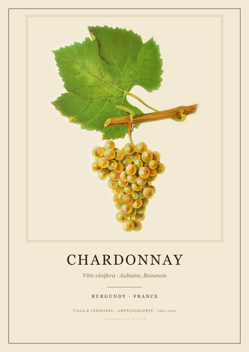 Chardonnay
The print from this article · from €29.95
View the print →
Chardonnay
The print from this article · from €29.95
View the print →



New regions and 10% off your first print.
One email now with your code. No noise after.