Wine Maps
12 prints
Douro
Douro, Portugal. Terraced schist above the river. A map of the real geography of the region, the Douro and its towns, with the sub-zones marked: Baixo Corgo, Cima Corgo, Douro Superior. Drawn from OpenStreetMap and Natural Earth data, not an appellation boundary.

Bordeaux
Bordeaux, France. Between the Garonne and the Dordogne. A map of the real geography of the region, the Garonne and its towns, with the sub-zones marked: Médoc, Saint-Émilion, Graves, Sauternes. Drawn from OpenStreetMap and Natural Earth data, not an appellation boundary.

Burgundy
Burgundy, France. The golden slope of the Côte d'Or. A map of the real geography of the region, the Saône and its towns, with the sub-zones marked: Côte de Nuits, Côte de Beaune. Drawn from OpenStreetMap and Natural Earth data, not an appellation boundary.

Champagne
Champagne, France. Chalk hills north of the Marne. A map of the real geography of the region, the Marne and its towns, with the sub-zones marked: Montagne de Reims, Vallée de la Marne, Côte des Blancs. Drawn from OpenStreetMap and Natural Earth data, not an appellation boundary.
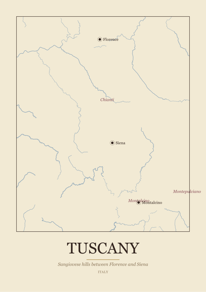
Tuscany
Tuscany, Italy. Sangiovese hills between Florence and Siena. A map of the real geography of the region, the Arno and its towns, with the sub-zones marked: Chianti, Montalcino, Montepulciano. Drawn from OpenStreetMap and Natural Earth data, not an appellation boundary.
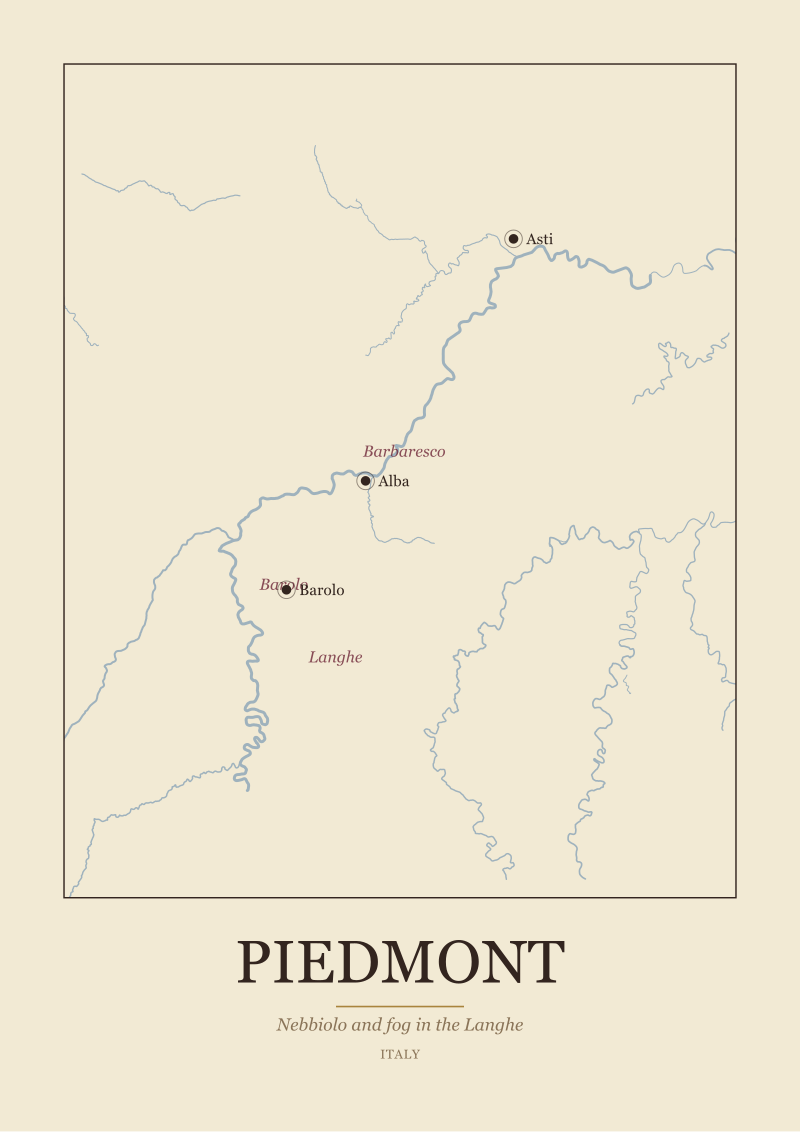
Piedmont
Piedmont, Italy. Nebbiolo and fog in the Langhe. A map of the real geography of the region, the Tanaro and its towns, with the sub-zones marked: Barolo, Barbaresco, Langhe. Drawn from OpenStreetMap and Natural Earth data, not an appellation boundary.
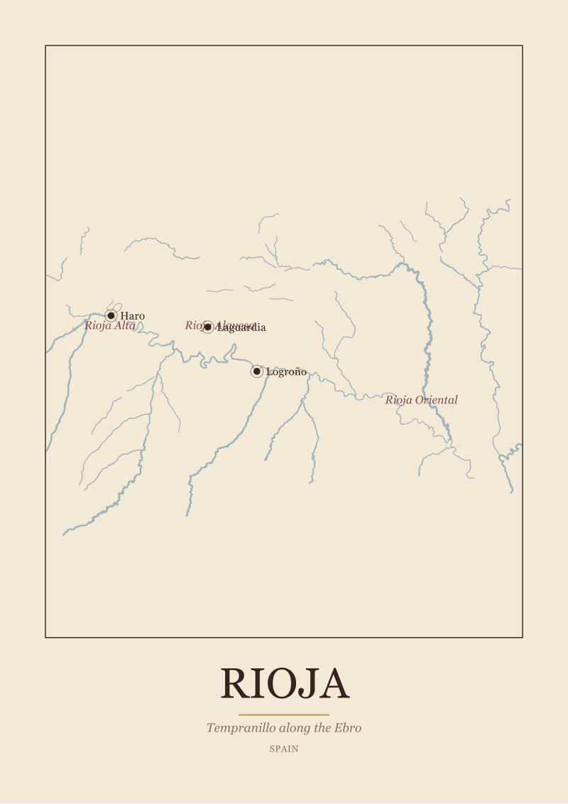
Rioja
Rioja, Spain. Tempranillo along the Ebro. A map of the real geography of the region, the Ebro and its towns, with the sub-zones marked: Rioja Alta, Rioja Alavesa, Rioja Oriental. Drawn from OpenStreetMap and Natural Earth data, not an appellation boundary.
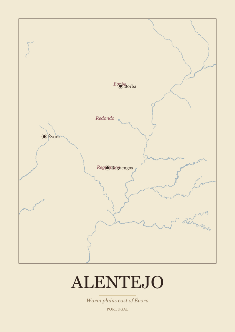
Alentejo
Alentejo, Portugal. Warm plains east of Évora. A map of the real geography of the region, the Guadiana and its towns, with the sub-zones marked: Borba, Redondo, Reguengos. Drawn from OpenStreetMap and Natural Earth data, not an appellation boundary.
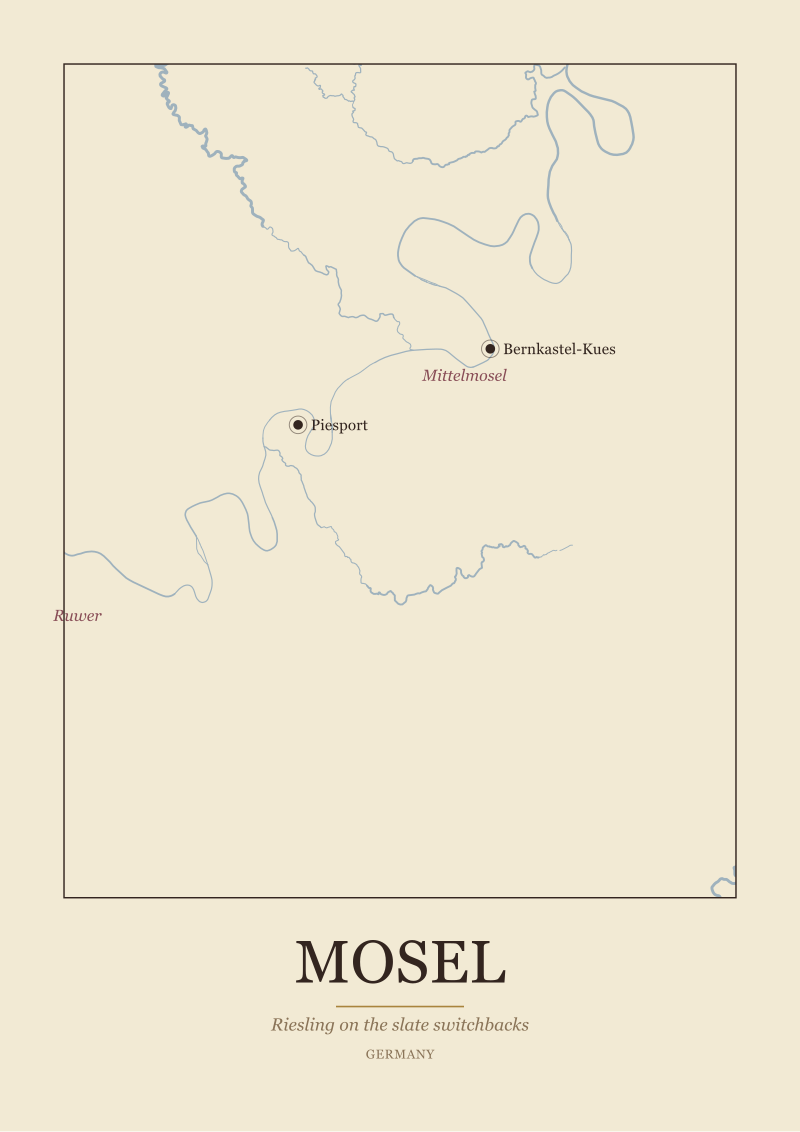
Mosel
Mosel, Germany. Riesling on the slate switchbacks. A map of the real geography of the region, the Mosel and its towns, with the sub-zones marked: Mittelmosel, Saar, Ruwer. Drawn from OpenStreetMap and Natural Earth data, not an appellation boundary.
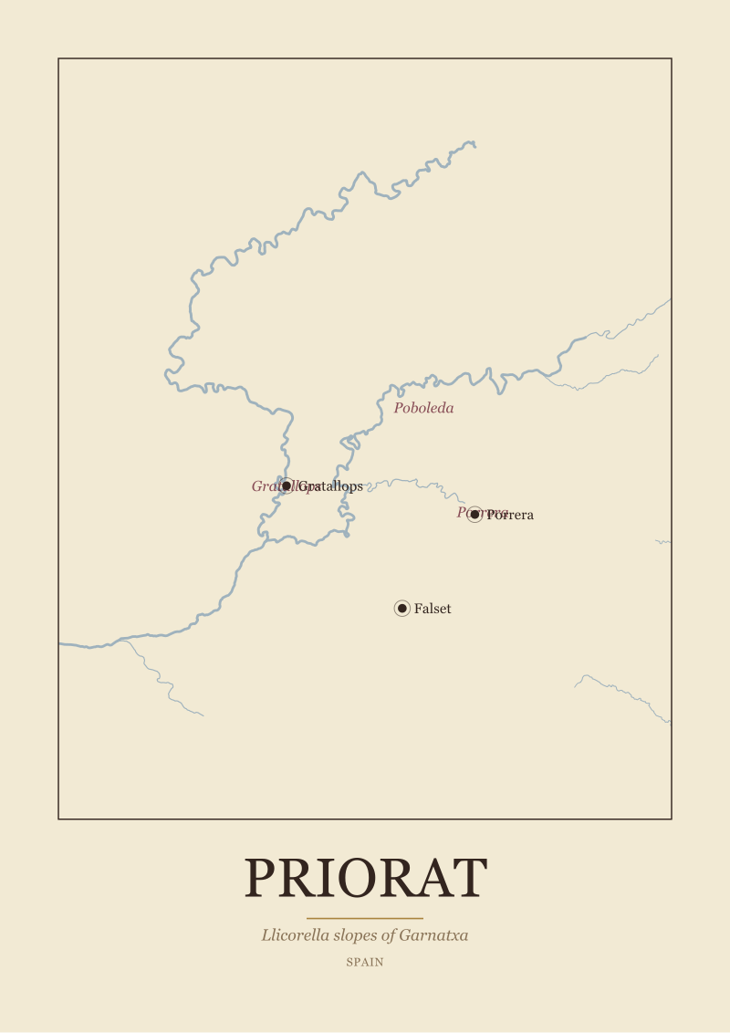
Priorat
Priorat, Spain. Llicorella slopes of Garnatxa. A map of the real geography of the region, the Siurana and its towns, with the sub-zones marked: Gratallops, Porrera, Poboleda. Drawn from OpenStreetMap and Natural Earth data, not an appellation boundary.
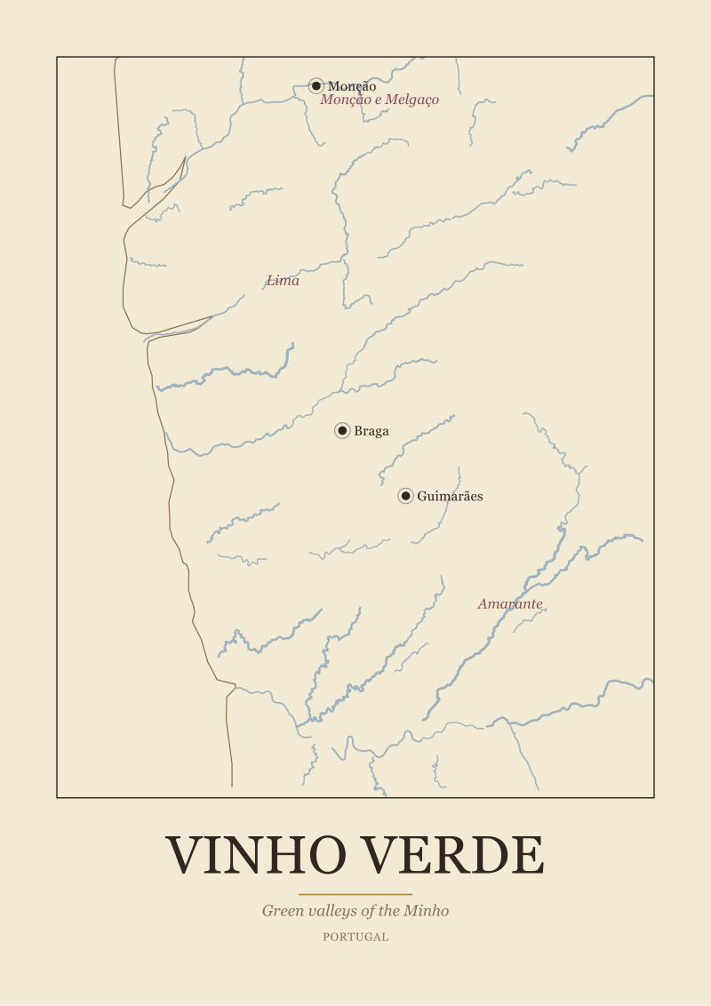
Vinho Verde
Vinho Verde, Portugal. Green valleys of the Minho. A map of the real geography of the region, the Minho and its towns, with the sub-zones marked: Monção e Melgaço, Lima, Amarante. Drawn from OpenStreetMap and Natural Earth data, not an appellation boundary.
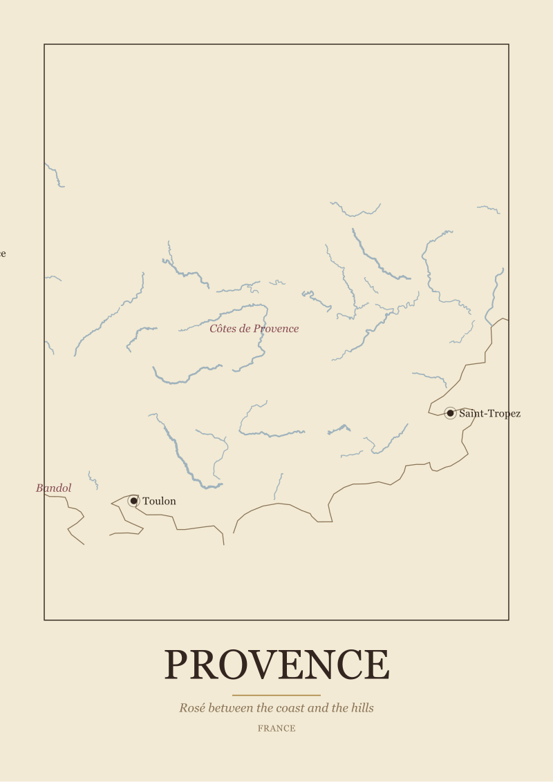
Provence
Provence, France. Rosé between the coast and the hills. A map of the real geography of the region, the Argens and its towns, with the sub-zones marked: Côtes de Provence, Bandol, Coteaux d'Aix. Drawn from OpenStreetMap and Natural Earth data, not an appellation boundary.
Terroir
3 prints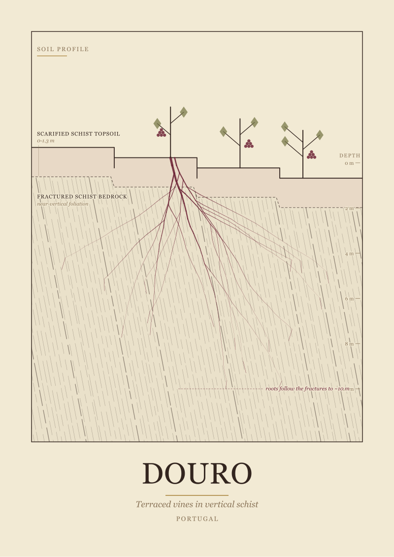
Douro Terroir
Douro, Portugal. A vertical soil profile of the terraced vineyards. Scarified schist topsoil over near vertical fractured schist bedrock, where the vine roots follow the fractures to about ten metres. Drawn from documented regional geology as a scientific plate.
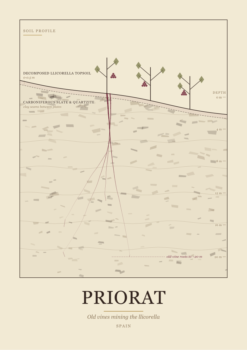
Priorat Terroir
Priorat, Spain. A vertical soil profile of the old vine slopes. A thin decomposed llicorella topsoil over Carboniferous slate and quartzite, with clay seams between the broken plates, where old vine roots reach about twenty metres. Drawn from documented regional geology as a scientific plate.
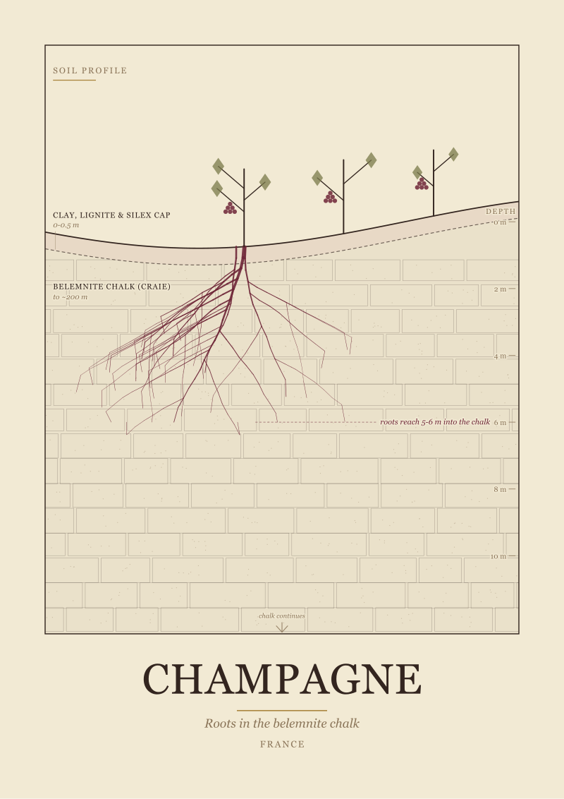
Champagne Terroir
Champagne, France. A vertical soil profile of the Côte. A cap of clay, lignite and silex over deep belemnite chalk, where the roots reach five to six metres into the craie. Drawn from documented regional geology as a scientific plate.
Ampelography
4 prints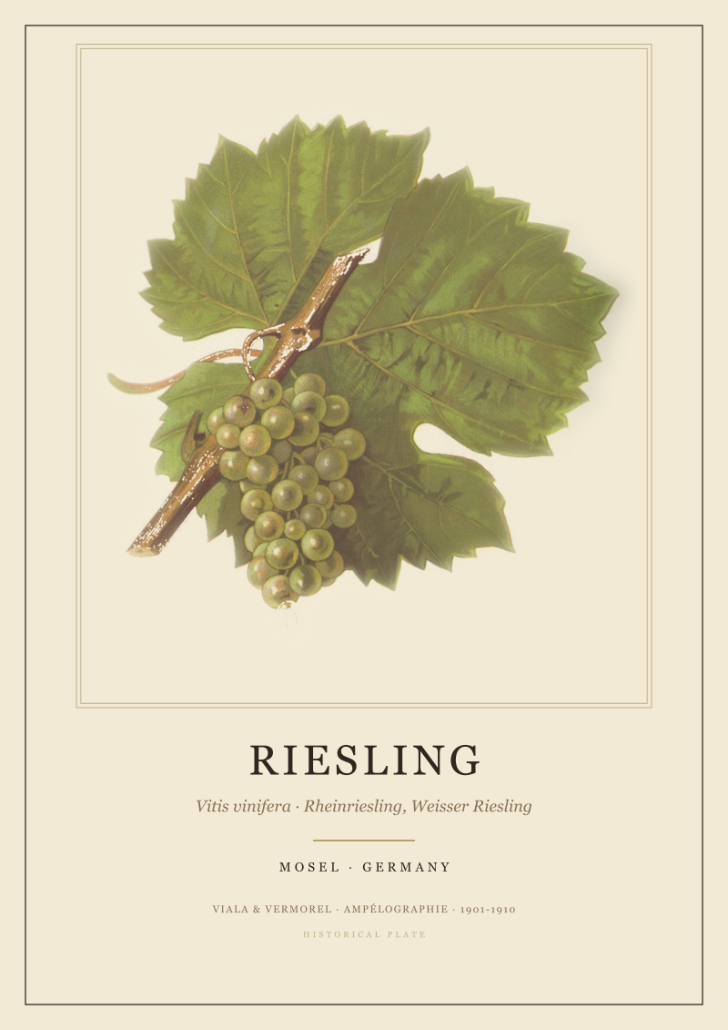
Riesling
Riesling, the white grape of the Mosel in Germany, also called Rheinriesling and Weisser Riesling. A hand coloured chromolithograph of the leaf and cluster from Viala and Vermorel's Ampélographie, a general treatise on viticulture published 1901-1910. Reproduction of a public domain historical plate.
Chardonnay
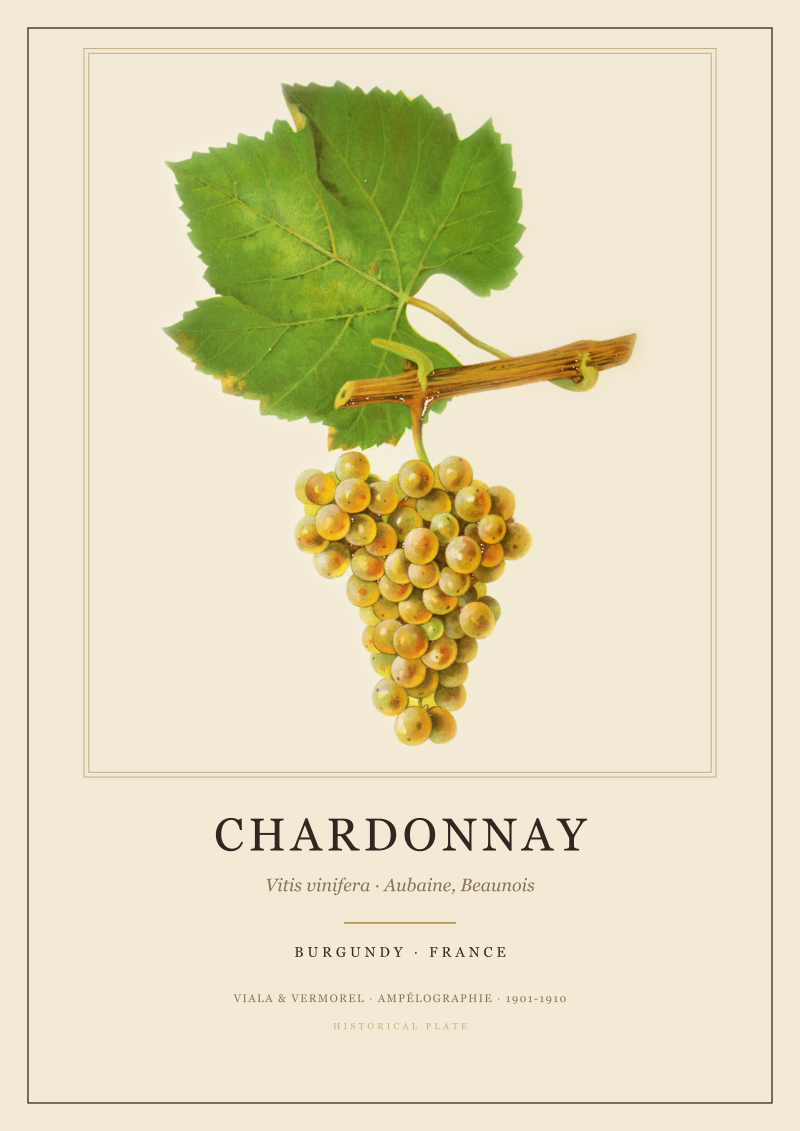
Chardonnay, the white grape of Burgundy in France, historically also called Aubaine and Beaunois. A hand coloured chromolithograph of the leaf and cluster from Viala and Vermorel's Ampélographie, a general treatise on viticulture published 1901-1910. Reproduction of a public domain historical plate.
Touriga
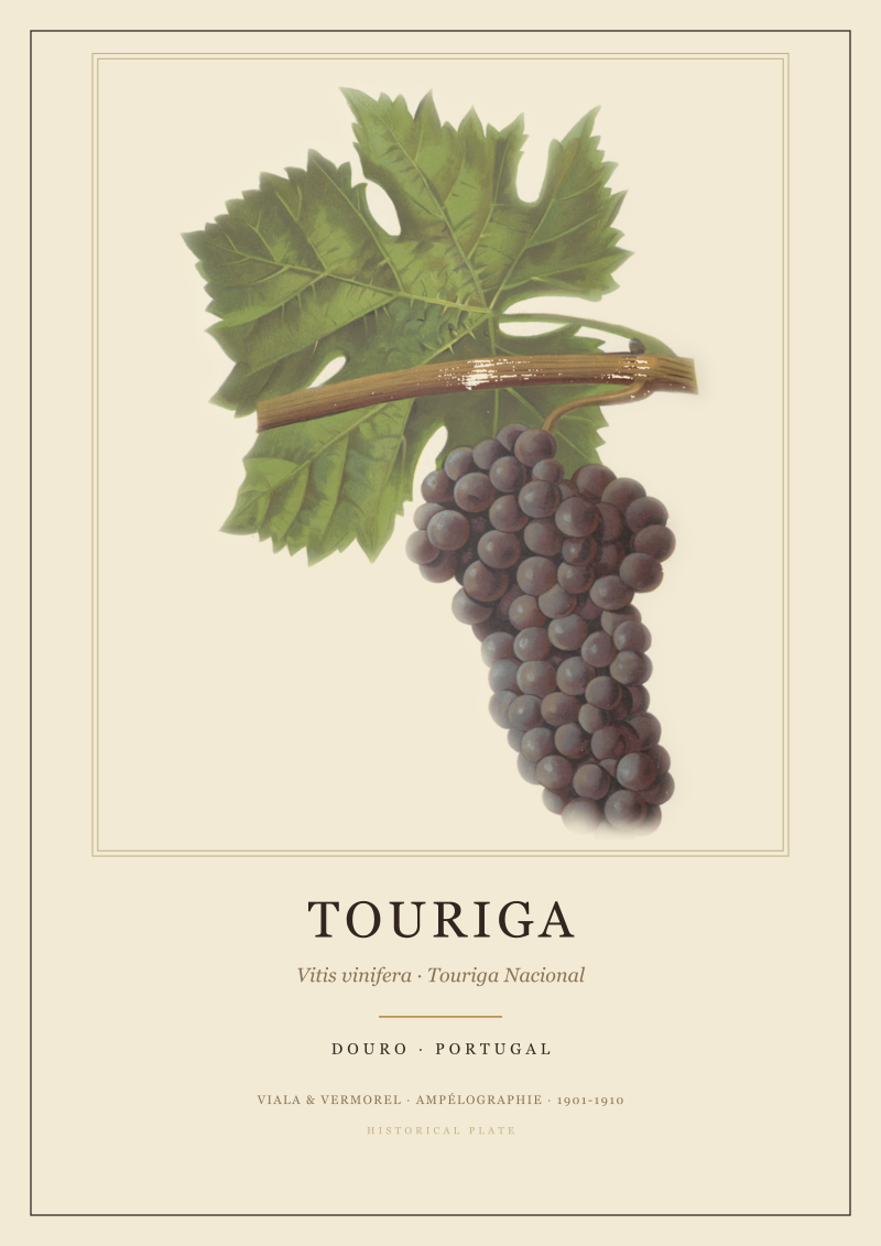
Touriga, the black grape of the Douro in Portugal and a mainstay of port, of the Touriga Nacional line. A hand coloured chromolithograph of the leaf and cluster from Viala and Vermorel's Ampélographie, a general treatise on viticulture published 1901-1910. Reproduction of a public domain historical plate.
Grenache
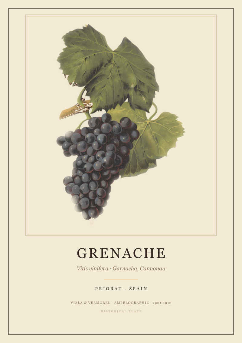
Grenache, the red grape of Priorat in Spain, known there as Garnacha and as Cannonau in Sardinia. A hand coloured chromolithograph of the leaf and cluster from Viala and Vermorel's Ampélographie, a general treatise on viticulture published 1901-1910. Reproduction of a public domain historical plate.