Terroir cartography
The land
the wine remembers.
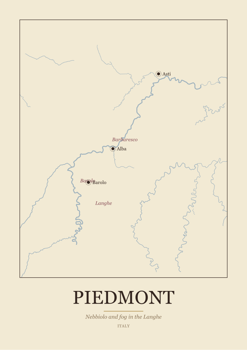
Wine regions drawn from the real geography, the river, the coast and the towns, with the sub-zones named. No invented boundary, only the ground itself.
OpenStreetMap rivers · Natural Earth coast · real towns · printed to order in the EU

Douroterraced schist


We do not draw an appellation.
We map the land.
River · coast · towns · sub-zones · real geography
From the collection
All prints

The Douro · framed · by the rack
The region on your table.
The valley behind the bottle you keep coming back to, its rivers and towns mapped for the wall beside it.
Find your region