How did a river in western Germany end up planted with vineyards tilted at angles closer to a ladder than a hillside?
371 AD: Ausonius Writes the Mosella
The documentary record, for our purposes, starts with a Roman consul on holiday. Decimus Magnus Ausonius, tutor to the emperor Gratian and a native of Bordeaux, traveled up the Mosel valley in the late fourth century and wrote a Latin poem about what he saw. The *Mosella* runs to nearly five hundred hexameters, and while much of it praises fish and riverbank villas, several long passages describe vineyards planted directly onto the slopes above the water.
This matters because it is written testimony — not archaeological inference — that fourth-century Mosel slopes were already terraced for grapes. Trier, at the head of what we now call the Mittelmosel, was a Roman imperial capital: Augusta Treverorum, one of the four residence-cities of the tetrarchy. Wine was infrastructure. Ausonius was writing about a working landscape, not a curiosity.
What he does not describe — and this is the analyst's caveat, the piece we have to leave open — is grape variety. The Riesling that defines the Mosel today would not become dominant for centuries. What he does describe is the geometry: vines lining slopes so steep that the river beneath reflects them like a mirror, sun caught on cut stone. The *Mosella* is, among other things, the earliest surviving written acknowledgment that this landscape trades depth for verticality. Farmable flat ground along the Mosel is scarce and always was. The slate switchbacks catch the sun that the flat ground doesn't. The Romans understood the trade. The poem records the understanding.
1787: Clemens Wenceslaus Orders Riesling
Fourteen centuries later, a decree from a prince-elector. Clemens Wenceslaus of Saxony — the last Archbishop-Elector of Trier before the Napoleonic wars dismantled the position — orders that inferior grape varieties on Mosel land under ecclesiastical control be uprooted and replaced with Riesling within seven years. The document is dated 8 May 1787.
Why does an eighteenth-century church directive belong in a piece about the world's steepest vineyards? Because Riesling is what makes the vertical geography economically defensible. The variety ripens late, tolerates cold, and — the critical point — reaches expressive quality on soils that would starve most vines. On the Mosel's Devonian slate, thin topsoil stretched over dark rock heated by the afternoon sun, Riesling produces wine dense enough per hectare to justify the labor of farming a slope you cannot drive a tractor onto. Substitute almost any other variety and the arithmetic collapses.
The 1787 decree did not, on its own, create the Riesling monoculture that would define the twentieth-century Mosel. But it set the direction. By the mid-nineteenth century, Riesling would occupy the region's best sites almost exclusively — and the best sites, as the next dated event would confirm, turned out to be the steepest, southernmost-facing slate cliffs. Ecclesiastical land was disproportionately the region's finest, because the church had been quietly consolidating slope-front parcels for centuries. Clemens Wenceslaus, in effect, standardized what the church already believed about its own land: that the Mosel's angle and mineral surface pointed toward one variety only. The elector-archbishopric he served did not survive his lifetime. The variety choice did.
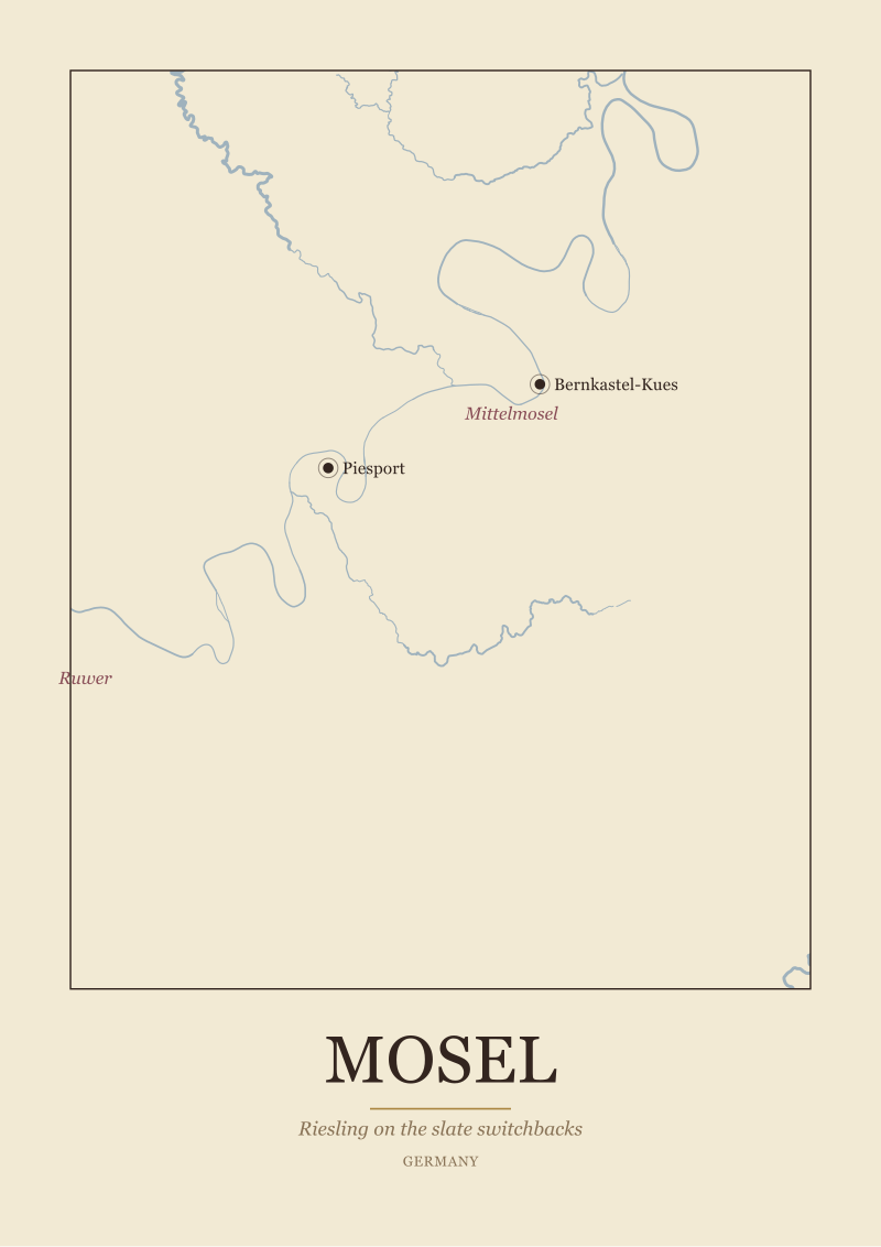 Mosel
The print from this article · from €29.95
View the print →
Mosel
The print from this article · from €29.95
View the print →
1868: The Prussian Tax Map Draws the Region
After 1815, the Mosel passed to Prussia. And in the second half of the nineteenth century, Prussian tax officials did what governments always do when they inherit land: they classified it, parcel by parcel, in order to tax it correctly.
The Prussian Vineyard Classification of the Mosel, completed in 1868, ranked every vineyard plot on a colour-coded map according to quality. The highest tier — the deepest orange shading on surviving copies — corresponded overwhelmingly to south-facing slate switchbacks in the stretch between roughly Zeltingen and Piesport, the geographic heart of what we now call the Mittelmosel. Prussian bureaucrats, in other words, drew a document that later wine writers would describe as the first grand cru map of the Mosel. And they drew it not for aesthetic reasons or gastronomic marketing but to calibrate a land tax.
What the map records — and this is the point worth pausing on — is that in 1868 an outside authority with no interest in wine promotion looked at the Mosel and independently arrived at the same conclusion the church had reached a century earlier: the steepest, south-facing slate cliffs were the region's value. The highest-taxed parcels were not the flattest or the easiest to farm. They were the ones tilted closest to the sun, at the highest angles the labour force would tolerate.
The 1868 map is not perfect. Later reassessments adjusted individual parcels. But its broad geometry — the identification of the Mittelmosel's Riesling cliffs as the crown of the region — has never been meaningfully overturned by any subsequent classification. It remains the most cited historical document in Mosel wine writing.
1971: The German Wine Law Redraws Everything
Now the wrinkle. In 1971 West Germany passed the *Weingesetz*, a national wine law that reorganized the entire German vineyard system into a hierarchy of place-names. On the Mosel, the law consolidated several thousand parcel-level vineyard designations into a much smaller set of *Grosslagen* — collective site names that could legally cover many square kilometers of vineyard land at once.
The consequence, which anyone reading a Mosel label today still has to reckon with, is that a wine sold as *Piesporter Michelsberg* under the 1971 framework need not come from the Michelsberg slope at all. *Michelsberg* is a *Grosslage* of roughly 1,300 hectares spread across a number of villages, most of them on flatter land nowhere near Piesport's famous cliffs. *Bernkasteler Badstube*, similarly, is a collective name covering a much larger area than any historical single-vineyard designation.
This was a policy choice, not an oversight. Post-war German wine authorities wanted a system that let growers on easier, flatter sites market their wines under famous village names. The steep-slope crown parcels that the 1868 Prussian map had identified — Piesporter Goldtröpfchen, Bernkasteler Doctor, Wehlener Sonnenuhr, Erdener Prälat, Ürziger Würzgarten — were preserved as *Einzellagen*, single-site designations. But they now sat inside a legal architecture that let much larger volumes ride on adjacent brand power.
For anyone reading the region geographically, 1971 is the year the map and the label begin to diverge. A conscientious Mosel reader has to learn which names denote *Einzellagen* — specific slate cliffs — and which are *Grosslagen* covering broader zones. The steepest vineyards in the world became, under the new law, considerably harder to identify from a supermarket bottle than they had been under the Prussian tax stamp.
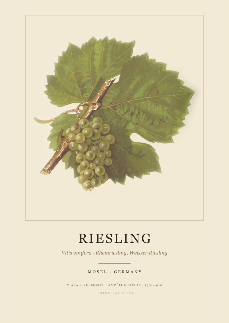 Riesling
The print from this article · from €29.95
View the print →
Riesling
The print from this article · from €29.95
View the print →
2007: Mosel-Saar-Ruwer Becomes Simply Mosel
The last dated event on the timeline is administrative and consequential. In August 2007, the wine region officially known since the 1971 law as *Mosel-Saar-Ruwer* shortens its name to simply *Mosel*. The two tributary valleys — the Saar, joining the Mosel at Konz just above Trier, and the Ruwer, a smaller stream meeting it just north of Trier — lose their formal top-billing on the regional name.
The change was pushed by regional marketing bodies who felt *Mosel-Saar-Ruwer* was unwieldy on export markets, particularly in North America and East Asia. Saar and Ruwer growers pushed back, correctly noting that the two side valleys produce Riesling of a very specific and distinct character. The Saar in particular, colder and later-ripening, sits on slate cliffs of its own that behave differently from the main-river Mittelmosel. The compromise: the region is called Mosel, but Saar and Ruwer remain officially recognized subregions inside it, and both names can still appear on labels.
For a piece about steep vineyards, the 2007 renaming is a useful reminder that the Mosel as a wine-producing geography is not one river but three closely linked slate valleys, each contributing a share of Europe's steepest planted ground. The Ockfener Bockstein on the Saar, the Maximin Grünhaus estates on the Ruwer, the Bremmer Calmont on the lower Mosel proper — all belong to the same geological family: Devonian slate cliffs tilted toward the sun. What changed in 2007 was the marketing shell, not the landscape. The Ausonian geometry of vine, slope and water still holds.
What It All Means
Roughly seventeen hundred years of documentation, five dated events, one conclusion: the steepest vineyards in the world exist on the Mosel because a series of independent authorities — Roman poets, prince-electors, Prussian tax assessors, twentieth-century wine regulators — each looked at the same slate cliffs and made the same choice about where the value sat. The angle carries the value. The variety, the label, the tax code and the marketing shell are all downstream of a geometric fact about how sunlight strikes a river bend in western Germany.
The often-quoted number — the Bremmer Calmont's roughly 65-degree gradient at its sharpest section, routinely cited as the steepest vineyard slope in the world — is the extreme end of a distribution that begins well below 50 degrees and shades gradually into meadow. What is remarkable is not the single Calmont figure but the persistence of the pattern above it. This region has been planted, replanted, classified, reclassified and relabelled continuously since a Latin poet wrote about it while visiting from Bordeaux. Each generation of documentation is a fresh reading of the same landscape, and each generation has reached broadly the same finding about which parcels matter. If you want to see how our studio draws the nine river bends and the slate cliffs above them, they live in our own catalogue at see the Mosel print.
A few things this piece has deliberately not covered. It does not address the labour economics of steep-slope viticulture in the twenty-first century — the ageing grower demographic, the mechanisation ceilings on slopes above sixty degrees, the abandonment rates in less-favoured parcels along secondary tributaries. Each of those is a separate argument, and dishonest to compress here. It does not compare Mosel angles to the equally serious Northern Rhône, Douro or Wachau equivalents; that comparison belongs to its own map, drawn slowly, with the same lens. And it does not name individual producers past or present, because we are a geography desk that draws regions, not a shop that ranks wines. What we drew here is the Mosel as a document that reads itself: nine bends, three rivers, one very old idea about sun caught on slate.
FAQ
How steep is the steepest vineyard on the Mosel?
The Bremmer Calmont, above the village of Bremm on the lower Mosel, is routinely cited as the steepest planted vineyard in the world, with slope sections reaching roughly 65 degrees. That figure describes the sharpest pitches, not the average across the parcel; the site shades from vertical rock face down to more workable ground. Similar angles occur intermittently across the Mittelmosel and the Saar wherever the river cut a tight bend into Devonian slate.
Why is Riesling the dominant grape on the Mosel?
Riesling ripens late, tolerates cold better than most European vinifera, and reaches expressive quality on thin soils where other varieties struggle. On the Mosel's slate, warmed all afternoon and holding heat into the evening, Riesling produces a wine dense enough per hectare to justify the labour of farming near-vertical ground. The variety choice was formalised region-wide over the nineteenth century, but the direction was set as early as the 1787 decree of Elector Clemens Wenceslaus.
What is the difference between an Einzellage and a Grosslage on Mosel labels?
An *Einzellage* is a single, delimited vineyard site — a specific slope. A *Grosslage* is a collective name grouping many vineyards, often across several villages, under the 1971 German Wine Law framework. Because both can appear on labels using similar syntax, a wine named *Piesporter Goldtröpfchen* (an Einzellage) points to a specific cliff, while *Piesporter Michelsberg* (a Grosslage) refers to a much larger and often flatter area with no direct link to Piesport's steep slopes.
What is the Prussian Vineyard Classification of 1868?
It is a tax-assessment map, completed by Prussian authorities in 1868, that ranked every Mosel vineyard parcel by quality using colour-coded tiers. Its purpose was to calibrate land tax, not to market wine. The highest tiers corresponded closely to south-facing slate switchbacks in the Mittelmosel. Later wine writers treat the map as effectively the first grand cru classification of the region, since its geometry has never been meaningfully overturned by subsequent official assessments.
Are the Saar and the Ruwer part of the Mosel wine region?
Yes. The German wine region called *Mosel* since 2007 (previously *Mosel-Saar-Ruwer*) formally includes both tributary valleys as recognised subregions. Saar and Ruwer names may still appear on labels. Geographically, the two side valleys share the same Devonian slate as the main river and produce wines that specialists treat as distinct in style — the Saar in particular is often noted for colder, later ripening and a sharper acidic profile than the main Mittelmosel.
What did Ausonius actually write about the Mosel?
Ausonius, a Bordeaux-born Roman poet and imperial tutor, composed the *Mosella* around 371 AD after travelling up the river. The poem is nearly five hundred Latin hexameters describing the valley: its fish, its villas, its people, and — critically for wine history — its steeply terraced vineyards mirrored in the water below. It is the earliest surviving written record of viticulture on Mosel slopes and confirms that the region's vertical planting pattern was already established under the late Roman empire.
Is the Mosel the steepest wine region in the world overall?
The Mosel holds the most widely cited *individual* record — the Calmont's ~65-degree pitch — and has an unusually high concentration of near-vertical planted ground along its river bends. Whether it is the steepest region on average is a harder question, because comparable slate and schist cliffs exist along the Northern Rhône, the Douro, the Wachau and Ribeira Sacra. What is undisputed is that no other region combines quite so many steep single sites over so long a documented history.



New regions and 10% off your first print.
One email now with your code. No noise after.