There is a pattern we keep noticing when we draw Rioja. People describe the region in every possible register — grape variety, oak regime, ageing category, house style — and almost none of them start with the river. They start with Tempranillo, or with a bottle they remember, or with a producer's name. The Ebro shows up, if it shows up at all, as a scenic detail somewhere in the third paragraph.
We think that is the wrong order. Every time we sit down to trace Rioja's shape onto paper — the three subzones, the anchor towns, the sheltering mountains north and south — the geography does not follow the wine. The wine follows the geography. So this piece is an attempt to read Rioja the way we draw it: river first, borders second, wine as a consequence rather than a cause. The Ebro is doing more work than most Rioja writing lets it do, and once you see the work it is doing, the region stops feeling like a marketing category and starts feeling like a place.
The Pattern of Naming the Grape Before the River
The first pattern is the easiest one to spot. Open almost any general-audience piece on Rioja and count the paragraphs before the Ebro is named. It is usually four or five. Tempranillo arrives first, then oak — American versus French — then the ageing ladder from Crianza upward, then perhaps a house or two. The river, which is literally the reason the region exists in the geographic sense it exists, arrives as an afterthought. If it arrives at all.
We understand why this happens. Wine writing has evolved a vocabulary that treats the vine as the protagonist and the land as backdrop. It is easier to describe a grape than a watershed. Grapes have adjectives; watersheds have maps. But when we sit with the geographic sources — the Natural Earth 1:10m rivers layer we use for our own prints, the coastline data, the elevation shading — Rioja is not a grape shape. It is a river shape. A long, narrow strip of viticulture that hugs the Ebro from roughly the Cantabrian foothills eastward, kinked by the tributaries the Ebro accepts along the way, walled in on the north by the Sierra de Cantabria and on the south by the Sierra de la Demanda.
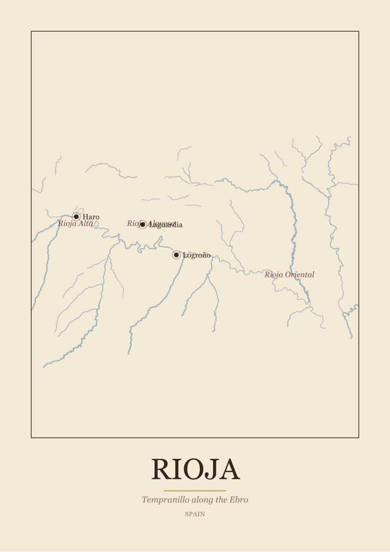
Read that sentence again with a map in front of you. The wine follows the water. The subzones are named for their position along that water. The three anchor towns — Logroño, Haro, Laguardia — sit exactly where the geography would make you put a town: at bends, at crossings, at the interface between valley floor and the slopes that flank it. This is not a coincidence produced by the marketing office. This is a river doing what rivers do to human settlement, and taking a wine tradition with it.
The Pattern of Three Subzones Read as Style Categories
The second pattern is more subtle, and it is the one we find hardest to write around. Nearly every explanation of Rioja Alta, Rioja Alavesa, and Rioja Oriental treats the three subzones as flavour buckets. Alta is elegant. Alavesa is fine-boned. Oriental — until recently called Rioja Baja — is warmer, richer, riper. The vocabulary slides toward stereotype almost immediately, and the reader ends up with three archetypes that map roughly onto three price bands and three marketing narratives.
That is a legitimate thing wine writing does. But it is not what the subzones are. The subzones are geographic partitions of the Ebro basin. Rioja Alta occupies the upstream, higher-elevation stretch on the south bank of the Ebro, with Haro as its anchor town. Rioja Alavesa sits on the north bank, inside the Basque province of Álava, sheltered by the Sierra de Cantabria and looking down at the river from a series of low terraces. Rioja Oriental extends downstream, eastward, where the valley opens and the elevation drops. These are not moods. They are positions on a river.
A subzone is a fact about geography before it is a claim about style, and Rioja's three subzones only make sense once you accept that they are stretches of one long valley rather than three separate philosophies.
The reason the style vocabulary is not simply wrong is that geography does produce style. Higher elevations and Atlantic-influenced air on the sheltered north bank do produce different fruit than a warmer, lower-elevation stretch further east. But the causal arrow points from the map to the glass, not from the glass to the map. When a Rioja explainer starts with the style characteristics of each subzone and only later mentions the elevation or the river position, it has inverted the sequence. We think the inversion matters, because it lets readers forget that a change in the appellation border is not a change in taste — it is a change in the ground.
 Rioja
The print from this article · from €29.95
View the print →
Rioja
The print from this article · from €29.95
View the print →
The Pattern of Anchor Towns Treated as Wine Towns
The third pattern is about the towns. Logroño, Haro, Laguardia. Any Rioja text will name them. Most texts frame them as wine towns — historic bodega quarters, tasting rooms, festivals — and stop there. The anchor towns become tour stops.
We would push back on that frame gently. These towns were placed by geography long before they were placed by wine. Logroño sits on the Ebro at the point where the river becomes navigable in a serious sense and where the Camino de Santiago crosses south to north. Haro sits upstream, at the confluence of the Ebro with the Tirón, in the heart of Rioja Alta, at the natural western hinge of the wine region. Laguardia is different in kind — a hilltop town on the Álava side, walled, looking down at the river from a rise that gives Rioja Alavesa its aerial view over its own vineyards. The three towns triangulate the region. Draw a line between them and you have most of Rioja on your page.
What this means, practically, is that the towns are not decorative. They are geographic evidence. If you are trying to understand why Rioja Alta and Rioja Alavesa share a river but not a province, Haro on the south bank and Laguardia on the north bank tell you exactly why: the Ebro is a border as well as an artery. It divides Castile from the Basque Country. It divides one wine tradition from a slightly different one. The fact that both are Rioja is a political and legal choice layered on top of a geography that had already drawn a line.
We keep coming back to this because it is the thing our maps make visible immediately and that prose has to work harder to say. When you see the Ebro drawn from the Cantabrian foothills to the Mediterranean, and you see the three subzones lined up along its middle stretch, and you see the anchor towns pinning the shape in place, the region reads as a single geographic proposition instead of three marketing sub-brands and a river no one talks about.
The Pattern of Terroir Without a Map
The fourth pattern is the one that irritates us most, and we want to be careful about it because the irritation is partly aesthetic. The word terroir does a lot of work in wine writing. In Rioja specifically, it is deployed to describe a mystique — a sense that the wine tastes of somewhere in a way that resists analysis. We have read paragraphs about Rioja terroir that never mention elevation, aspect, soil parent material, or the Ebro.
Our objection is not that terroir is a bad word. Our objection is that terroir without a map is a claim without evidence. If terroir means anything at Wine Map, it means the geographic conditions of a specific stretch of ground, which can be pointed at, drawn, and read. In Rioja, terroir means: which bank of the Ebro, at what elevation, sheltered by which sierra, with which aspect, drained by which tributary. Those are answerable questions. The answers vary across the three subzones and even within them. And the answers explain a great deal of what shows up in a glass.
The pattern we notice, and the one that is worth naming, is this: the more mystical the terroir language, the less geographic work the writer has done. When a piece leans hard on unrepeatable magic, it is usually because it has skipped the reading step. The magic is often just geography the writer did not bother to look at. Rioja rewards the looking. The river bends, the sierras rise and fall, the tributaries come in from the north and south, and the subzones sort themselves along that structure with a logic that is not mystical at all. It is topographic.
So What Do You Actually Do
Read the region backward from how most explainers present it. Start with the Ebro. Trace it from the Cantabrian foothills, past Haro, past Logroño, out toward Rioja Oriental and further east toward the Mediterranean. Notice the sierras walling the valley north and south. Notice how the three subzones are positions on that river rather than personalities in a catalogue. Notice how the three anchor towns sit at hinges — a confluence, a crossing, a hilltop — and how they triangulate the shape. Only then bring the grape back in. Tempranillo along the Ebro is not a slogan. It is a description of what grows in a specific corridor of Iberian geography, which happens to be one of the most legible wine corridors in Europe once you draw its river.
The practical version of this is small: next time you read a Rioja article, put your finger on where the Ebro is named. If it takes more than a paragraph, the piece has probably inverted the order. Next time you read a subzone described as a style, ask which stretch of river the style corresponds to. Next time terroir is invoked without an elevation figure or a bank of the river or a sierra, treat the claim as unfinished. This is not pedantry. It is the difference between reading a wine region and reciting one.
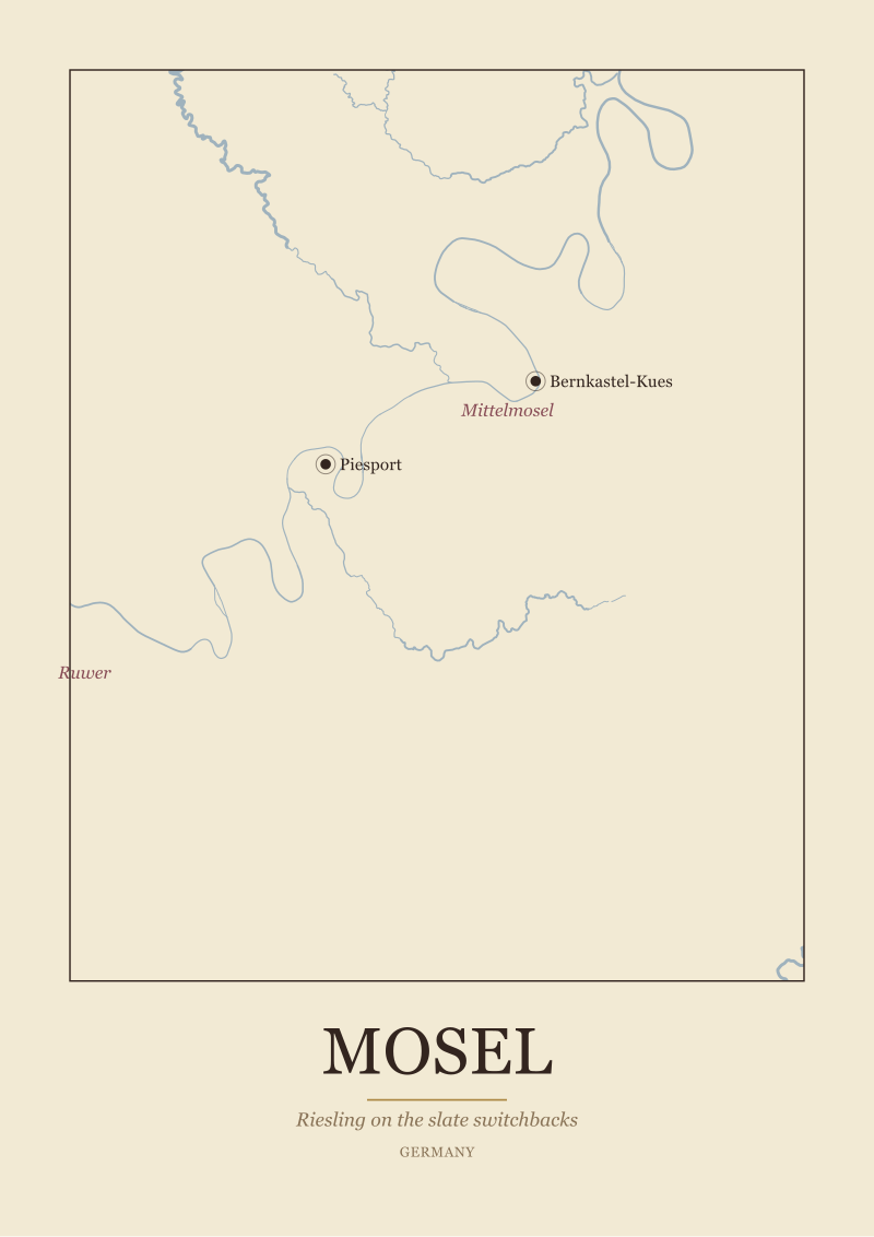
If you want the region on your wall the way we read it — the Ebro drawn honestly, the three subzones bordered by geography and not by branding, the anchor towns placed where the river put them — that is what we make in our see the Rioja print. But the more important handoff is not the print. It is the next region. Once you have read Rioja through its river, Ribera del Duero starts asking to be read through the Duero, Priorat through its slate valleys, the Mosel through its bends. The river-first method does not stop at Spain, and Rioja is a good place to learn it because the geography is unusually cooperative. Which river you pick up next is the question this piece hands you.
 Mosel
The print from this article · from €29.95
View the print →
Mosel
The print from this article · from €29.95
View the print →
FAQ
Why does the Ebro matter more than Tempranillo when explaining Rioja?
Because the Ebro decides where Tempranillo grows in this part of Spain. The grape is the visible protagonist, but the river is the reason the region has its shape, its subzones, and its anchor towns. Starting with the grape treats geography as backdrop; starting with the river treats the wine as a consequence of place. In Rioja specifically, the shape of the appellation follows the middle stretch of the Ebro so closely that the geographic reading and the wine reading are almost the same reading.
What are the three subzones of Rioja and how do they relate to the river?
Rioja is divided into Rioja Alta, Rioja Alavesa, and Rioja Oriental. All three are stretches of the Ebro valley. Rioja Alta occupies the upstream, south-bank portion around Haro. Rioja Alavesa sits on the north bank inside the Basque province of Álava, with Laguardia as its anchor town. Rioja Oriental is the downstream, eastern stretch. The subzones are geographic partitions of one continuous valley, not independent style categories, though geography does produce stylistic differences.
Why is Rioja Alavesa in the Basque Country if it is part of Rioja?
Because the Ebro is a border as well as an artery. It divides Castile from the Basque Country politically, but the wine tradition on both banks grew up along the same river. When the modern Rioja appellation was drawn, it followed the river rather than the provincial line, which is why Rioja Alavesa sits inside Álava while the rest of Rioja sits outside it. The river unified what politics had divided.
What are the anchor towns and why does the desk keep naming them?
Logroño, Haro, and Laguardia. We name them repeatedly because they are geographic evidence, not decoration. Logroño sits on the Ebro at a historic crossing point. Haro sits at the confluence of the Ebro and the Tirón in the heart of Rioja Alta. Laguardia is a hilltop town on the Álava side that looks down at the river. Together they triangulate the region. If you can place these three, you can place most of Rioja on a blank map.
Is Rioja Oriental the same as Rioja Baja?
Yes. Rioja Oriental is the current name for what used to be called Rioja Baja. The rename shifted the frame from an elevation reference — Baja meaning lower — to a directional one, Oriental meaning eastern. The geography did not change. It is still the downstream, warmer, lower-elevation stretch of the Ebro valley within the appellation. Older texts and labels will still use Rioja Baja, and both refer to the same territory.
Does the studio recommend specific Rioja producers or bottles?
No. Wine Map is a geography desk, not a wine shop or a review outlet. Producers appear in our writing only as historical or geographic fact — where a town is, what the anchor is, why a bend in the river matters. We do not recommend bottles, we do not link to sellers, and we do not carry affiliate arrangements with any producer. The only commercial destination we ever point to is our own print shop of the regions we draw.
How is Rioja's geography different from Ribera del Duero's?
Both are river-defined Spanish regions, but the rivers behave differently. The Ebro runs east toward the Mediterranean; the Duero runs west toward the Atlantic through Portugal. The Ebro valley in Rioja is walled by the Sierra de Cantabria to the north and the Sierra de la Demanda to the south, producing a sheltered corridor. Ribera del Duero sits on a higher, more exposed plateau. Reading both regions river-first is the method; the rivers themselves are what make the two regions distinct.
Where can I see the region drawn the way this piece describes it?
On our own printed maps of Rioja, which trace the Ebro from the Cantabrian foothills through the three subzones and place the anchor towns where the geography puts them. They live in the studio see the Rioja print. Beyond that, the Natural Earth 1:10m rivers dataset is public domain and a good starting point if you want to draw the region yourself — it is the base layer we use before we begin adding the appellation borders and the town markers by hand.


New regions and 10% off your first print.
One email now with your code. No noise after.