Champagne is a region of three subzones. Every grape in every bottle labelled Champagne comes from a village inside one of them. The two cities most visitors put on their itinerary — Reims and Épernay — are not villages, and not vineyards. They are where the maisons keep their addresses.
That is the receipt. The reaction that follows is the rest of the article.
What the Numbers Actually Say
The grounding for Champagne is compact and unusually specific. The region sits on chalk hills north of the Marne. Its subzones are three: Montagne de Reims, Vallée de la Marne, Côte des Blancs. Its anchor towns are Reims, Épernay, and Aÿ.
Notice what that list does. Reims and Épernay are called anchor towns — they anchor the region as reference points, as transport hubs, as cellar addresses. Aÿ is listed alongside them, but Aÿ is different. Aÿ is a village. It sits on the slope above the north bank of the Marne, and its vines climb the chalk directly behind the houses.
The distinction is important. Reims contains none of the three subzones. Épernay sits at the meeting point of two — the Vallée de la Marne runs west from it, and the Côte des Blancs runs south. Aÿ sits inside the vineyard. That is why the grounding names Aÿ next to Reims and Épernay: the first two are administrative, the third is geographic.
When a visitor plans a trip to Champagne and stops at Reims and Épernay, they have visited the region's two most important commercial addresses. They have not visited the chalk. The chalk is where the grapes are. To walk on the chalk, you have to leave the cities.
That is the arithmetic. Three subzones. Dozens of villages inside them. Two cities that most itineraries treat as if they were the region. The gap between those two counts is why this article exists — and why the wine map, drawn honestly, looks less like a list of cellars and more like a scatter of villages along three lines of chalk.
What Nobody Mentions
The village layer of Champagne is the layer that decides what the wine is — but almost every visitor treatment of the region skips it. The reason is logistical, not editorial: the villages are not on the direct train line, and the cellars in Reims are set up to receive tourists. The villages are set up to grow grapes.
Consider what you skip when you stay inside the cities.
You skip Hautvillers, the village on the north slope of the Marne where the Benedictine abbey stands and where the cellar-master Dom Pérignon is broadly credited with early work on the region's method. The village is a small hilltop settlement above the river; the abbey and the vineyards behind it are the reason it appears on every serious map of French wine.
You skip the Côte des Blancs, the south-facing chalk ridge running south of Épernay where Chardonnay is planted almost to the exclusion of anything else. Its villages — Cramant, Avize, Oger, Le Mesnil-sur-Oger — are strung along a single road, each a cluster of houses at the foot of the slope, with vines climbing above.
You skip Aÿ, which is listed in the grounding and which sits on the north bank of the Marne opposite Épernay. Aÿ is historically a Pinot Noir village; its slope faces south. It is a fifteen-minute drive from Épernay's train station.
You skip Bouzy on the eastern flank of the Montagne de Reims, and Ambonnay next door. You skip Verzenay and Verzy on the northern slope of the same Montagne. Each is a village whose name is on the region's own classification of villages — a classification that ranks the source of the fruit, not the producer of the bottle. That is a distinction Champagne treats seriously, and that no cellar tour in a city will show you.
Nobody mentions this in a two-day itinerary because a two-day itinerary cannot contain it. Champagne is a village geography. Two days of cellars in two cities is a different experience with the same name attached.
 Champagne
The print from this article · from €29.95
View the print →
Champagne
The print from this article · from €29.95
View the print →
The Real Cost
Put a figure on what you lose. Not in euros — in what you see.
A day inside cellars in Reims gives you an experience available in almost any wine city in France: cool corridors, arranged bottles, a guide, a tasting at the end. The information is real. The setting is a warehouse.
A day on the Côte des Blancs, driving south from Épernay along the D9, gives you the slope. The road runs at the foot of it. On your left, the vineyards climb; on your right, the plain of the Marne opens. You pass through Cuis, then Cramant, then Avize, then Oger, then Le Mesnil-sur-Oger. Each village is small enough to walk across in ten minutes. The vines start a five-minute walk from the church.
The real cost is the substitution. If you spend both of your days on cellar tours, you have taken the same tour twice. If you spend one day in the city and one day on the village road, you have doubled what you know about the region for the price of an afternoon's mileage.
The mileage is small. Épernay to Le Mesnil-sur-Oger is fifteen kilometres. Épernay to Aÿ is four. Reims to Verzenay is seventeen. This is not a spread-out region. The village geography is genuinely within reach of a single afternoon per subzone.
The choice most visitors make — to stay in Reims and treat the cellars as the region — is not the wrong choice. It is a partial one. What you lose by making it is the specific thing that makes Champagne different from every other wine region on the map: the fact that its grapes grow on chalk you can see, in villages that are named on the classification, at altitudes low enough to walk into.
That is the cost. Not money. Perspective.
If You Only Remember One Thing
Reims and Épernay are the region's shop windows. Aÿ, Hautvillers, Cramant, Le Mesnil-sur-Oger, Bouzy, Verzenay — these are the region's vineyards. If your itinerary contains only the first list, you have visited the headquarters. If it contains any of the second list, you have visited the place.
We draw the region before we write about it, and the map of Champagne that hangs in our own shop begins with the villages, not the cities. The villages are where the geography lives.
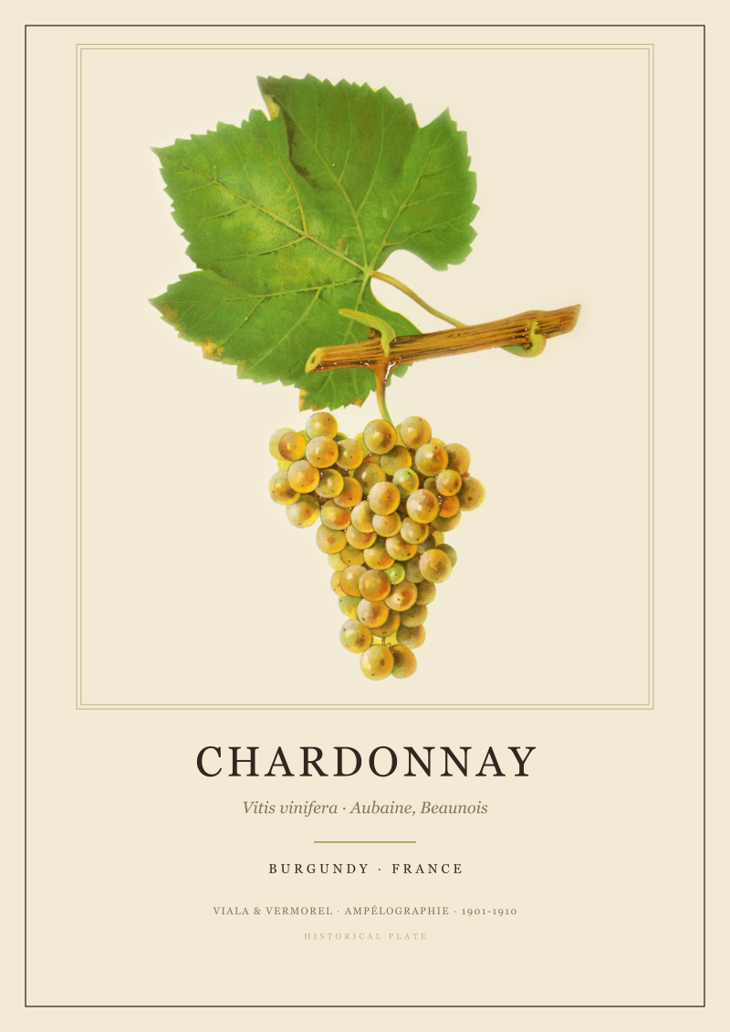 Chardonnay
The print from this article · from €29.95
View the print →
Chardonnay
The print from this article · from €29.95
View the print →
FAQ
Which Champagne villages sit closest to Épernay?
Aÿ is roughly four kilometres north across the Marne. Cramant, the first village of the Côte des Blancs, sits about six kilometres south of Épernay along the D10. Hautvillers is a similar distance north on the slope above the river. Together these three give a visitor the three principal subzones — Vallée de la Marne, Côte des Blancs, and the north slope above the Marne — within a twenty-minute drive of Épernay's centre.
Is Aÿ a village or a town?
Aÿ is a village in the wine sense and a small town in the administrative one. It has a few thousand residents, its own centre, and its chalk slope of vines rising directly behind the houses. It is listed as an anchor of Champagne because of its historical importance to the region's wine trade, not because of its size. Read as geography, it belongs with the villages on the classification, not with Reims and Épernay.
What is the Côte des Blancs, exactly?
The Côte des Blancs is the south-facing chalk ridge running south of Épernay. Its name reflects what grows on it — predominantly Chardonnay, the white grape whose wines are labelled blanc de blancs. The subzone is a single narrow ridge with a string of villages at its foot: Cuis, Cramant, Avize, Oger, Le Mesnil-sur-Oger. Each village is a cluster of houses at the base of the slope, with vines climbing the chalk above the road that connects them.
Can you visit Champagne villages without a car?
Some, with effort. Aÿ has a station on the Reims–Épernay line and is walkable from arrival. Hautvillers is reachable by taxi or occasional bus from Épernay. The Côte des Blancs villages are harder without a car — public transport is infrequent, and the distances between villages, though short by road, are not comfortable on foot across a day. A hired car or driver is the practical answer for anyone wanting to see more than one subzone.
Why is Champagne grown on chalk in the first place?
The chalk hills north of the Marne give the region two things at once: drainage and stored warmth. Chalk lets water pass through quickly, so vines are not waterlogged, and it holds daytime heat against a climate that sits at the northern edge of where vines ripen at all. That combination is the geographic reason Champagne exists where it does. The three subzones map that combination directly — they are the sections of chalk that face the sun.
Are the Grand Cru villages worth the detour on a short trip?
Champagne's Grand Cru classification applies to villages, not producers or single vineyards. Visiting one gives you a specific piece of geography: the slope, the aspect, the height of the vines above the plain. Whether that geography rewards the detour depends on what you came for. For a visitor whose interest is in wine as a place — where it grows, and why there rather than somewhere else — the classification tracks the geography, and the geography changes between one village and the next.
How long does a village visit actually take?
A single village — walking from the square, along the foot of the vineyards, up to the top of the slope and back — is a comfortable ninety minutes. Two or three villages in the same subzone link cleanly into an afternoon. A full sweep of all three subzones, at village pace, is a two-day trip minimum. Rushing it is possible; it also defeats the point, which is to see the changes in slope, aspect, and chalk depth from one village to the next.



New regions and 10% off your first print.
One email now with your code. No noise after.