Alsace is the only major French wine region whose fame is a byproduct of a rain shadow. The vines sit on a narrow strip of foothill between the Vosges to the west and the Rhine plain to the east, a corridor barely thirty kilometres wide in places, and everything the region is known for — the dryness, the aromatic whites, the German-sounding villages under French administration — traces back to that geometry. We draw this region often at the studio, and every time the same thing becomes obvious on the paper: the wine route is not a road through vineyards. It is a seam between two landforms that refused to agree.
The Vosges Are the Reason Alsace Exists as a Wine Region
The mountains do the work. This is the sentence we come back to whenever a visitor asks us why Alsace makes the wines it makes and not the wines its latitude would predict. Look at a rainfall map of France and the Vosges massif is one of the wettest ranges in the interior of the country; the western slopes catch weather that has been travelling east across Lorraine for hours, and by the time the air spills over the crest it has already emptied itself. The eastern face — the vineyard face — is one of the driest strips of land in France. Colmar, tucked against the foothills roughly halfway up the region, is repeatedly cited as the second-driest town in the country, kept dry by a range that isn't even particularly tall. A wall of six hundred to twelve hundred metres, no glaciers, no dramatic peaks, and it reroutes the climate of an entire wine region.
That rain shadow is why the corridor grows wine at all. Northern French latitudes are borderline for viticulture; without the Vosges the plain would be too grey, too damp, too pushed around by Atlantic weather to ripen anything reliably. With the Vosges, the shelf of foothills catches sunlight from the east, holds warmth against the granite and sandstone of the slope, and the growing season stretches long and dry enough for grapes to develop the concentrated aromatics the region trades on. Riesling, Gewürztraminer, Pinot Gris, Muscat, Sylvaner — the entire varietal roster reads as a list of grapes that reward long, dry, cool ripening and punish humidity. That is not a stylistic choice. It is a geographical one, made by the mountain long before anyone thought about labels.
What surprises people who visit for the first time is how tight the useful band actually is. Climb a hundred metres too high and the slope turns cold, wooded, and useless for vines. Drop a hundred metres too low into the plain and the soil goes heavy, the fogs settle, the frost pools. The workable strip is often a ribbon of only a few hundred metres of vertical relief, running roughly north-to-south along the base of the range. On a map this looks like a decorative squiggle. On the ground it is a hard edge — you can stand at the top of a village and see the vines stop mid-hillside, the way tidewater stops on a beach. The grand cru sites, without exception, sit inside that ribbon. They are not spread across the region democratically. They are pressed up against the mountain.
The geology helps here in a way that gets undersold. The Vosges are old, faulted, and complicated, which means the foothills below them are a mosaic rather than a bed. Granite in one commune, limestone in the next, volcanic sedimentary rocks in a third, marl and sandstone in a fourth. A grand cru is not simply "the best hill in the village". It is a specific geological accident that the mountain deposited in a specific place tens of millions of years ago, and which the modern appellation map has done its best to trace. When people say Alsace has "fifty-one grand crus", what they really mean is that the geologists spent decades arguing with the growers about where one hillside stopped being one rock and started being another. The Vosges wrote the first draft of that map. Everything since has been annotation.
The Rhine Is a Border That Behaves Like a Weather System
If the Vosges give Alsace its dryness, the Rhine gives it its identity crisis. The river runs the eastern edge of the region — wide, slow, industrial in its modern form, once wild and constantly re-braiding across a plain that geologists call the Upper Rhine Graben. That graben is the reason the plain is so flat and the mountains on both sides are so sharp: the whole valley is a rift, a slab of crust that dropped between two ranges over millions of years. The Vosges on the French side, the Black Forest on the German side, and the river running down the seam between them. The wine sits on the western shoulder of that rift, looking across at Baden's vineyards on the opposite shoulder. Two wine regions, same rift, different countries, mirror-image geographies.
The Rhine is a border in the political sense, but as a piece of geography it behaves more like a weather system than a line. It moderates. It pushes fogs and cold air around. It holds moisture. It also historically defined where people could and could not go, which is why the villages on the Alsace side developed inward — clustered against the foothills, backed by mountain, facing the river only when they had to. The wine route, when you actually drive it, is not oriented toward the Rhine at all. It runs parallel to the mountains and turns its back on the river. That posture is centuries old and geographical in origin: the useful ground for vines was on the western half of the corridor; the eastern half was floodplain, marsh, and shifting river channels until nineteenth-century engineering fixed the Rhine into a single stable bed.
The linguistic and cultural strangeness of Alsace — the German dialect surviving inside a French administrative frame, the half-timbered architecture that looks Bavarian to visitors expecting Beaune, the food that leans east rather than west — is not a random accident of history. It is the political consequence of a geography where the natural traffic runs across the Rhine, not across the Vosges. For most of the last thousand years the mountain was harder to cross than the river. Trade, marriage, ideas and grape varieties moved east-west across a river that was easier to ford than a range to climb, and the region absorbed the influence of the Rhineland far more deeply than that of interior France. The French border only won the argument politically in the modern era; the Rhine-facing culture stayed. That is why the wines, even when made under French appellation rules, still taste and look and label themselves as products of a Rhine-basin tradition. Riesling is a Rhine grape. Gewürztraminer is a Rhine grape. The tall flute bottle is a Rhine bottle. The region drinks from the river, not from the mountain.
We think this is the single most under-explained thing about Alsace. Visitors arrive with a French wine framework in their heads — thinking of Alsace as they might think of Burgundy, a French region making French wines — and cannot square why everything looks and sounds slightly wrong. The answer is that the river, not the border, is doing the cultural work. The border has moved back and forth four times in a century and a half. The river has been where it is for the whole conversation.
 Burgundy
The print from this article · from €29.95
View the print →
Burgundy
The print from this article · from €29.95
View the print →
The Route Itself Is a Political Object, Not a Scenic One
The Route des Vins d'Alsace is often described as one of the oldest tourism routes in France, and it is — but the framing of it as a scenic drive obscures what it actually was, and to some extent still is. It was created in 1953, threading roughly one hundred and seventy kilometres of small roads from north of Strasbourg down toward Mulhouse, linking villages that had been making wine for the better part of a millennium but had spent the previous decade emerging from a war that had physically damaged many of them. The route was, among other things, a piece of postwar economic reconstruction. It gave a fragmented, artisanal wine economy — hundreds of small growers along a single geographical corridor — a shared piece of infrastructure that a car-owning middle class from Strasbourg, Paris, and across the Rhine could actually use. The scenery came for free. The route was a policy.
What that policy did, quietly, over the following decades, was fix the region's identity in the shape of its geography. Because the road follows the base of the Vosges — because it has to, that's where the villages are — it turned the physical corridor into a legible cultural product. The wine route did not create the wine corridor. The wine corridor already existed as a strip of land where growing grapes made sense. The route just made that strip narratable. You can drive it in a day. You can stop at Ribeauvillé and see one castle. You can stop at Riquewihr and see another. You can look up at Kaysersberg and see a third. Every one of those castles is on a foothill spur; every foothill spur is a piece of the same geological system; every village at the base of every spur is a wine village for the same reason. The route bundles fifty pieces of geography into one experience and calls it a region.
The result is that Alsace is one of the very few wine regions where the tourist route and the geographical logic of the vineyards are the same object. In Bordeaux the tourist axis and the vineyard axis diverge — you can see the city without seeing the Médoc. In Burgundy the côte is legible but the tourism infrastructure is thin and the wine villages are indifferent to visitors in a way Alsace has never been. In Champagne the vines hide behind Reims and Épernay, industrial towns with wine tucked into the hills behind them. In Alsace the road, the vines, the villages and the mountain are all pressed into the same thirty-kilometre band. There is nowhere else for any of it to go. That compression is why the region photographs so well and why it fits so cleanly onto a map: everything a mapmaker would want to show is already lined up along a single seam.
A last thing about the route worth saying honestly. Its political function has not entirely faded. The wine route markets a specific version of Alsace — pastoral, timbered, storybook, harmonised — that flattens some of the more difficult history of a region that changed nationality four times between 1871 and 1945. The Franco-German seam runs through every village on the route, and the route was designed, in part, to present a healed version of that seam to the outside world. It is a wine road, yes. It is also a piece of reconciliation infrastructure. Both things are true, and both things are visible if you know to look for them. We think about that every time we sit down to draw the region, because a map has to decide what to include and what to leave out, and the wine route makes those decisions for you before you have picked up the pen. If you would rather draw the region yourself, our Alsace map print at /shop/ is the version we keep on the studio wall.
This piece started as a straightforward geographic essay about the wine route and turned, halfway through, into an argument about why the route exists at all. That shift was not planned. The Vosges kept pulling the writing back to themselves; the Rhine kept insisting on being read as culture rather than as border; and the route, which we had meant to treat as a scenic thread, kept revealing itself as a piece of policy dressed up as tourism. What you have just read is what happens when you try to describe Alsace and the geography refuses to stay in the background.
FAQ
Why is Alsace so much drier than the rest of northeastern France?
The Vosges mountains sit directly to the west of the vineyard corridor and strip moisture out of weather systems moving in from the Atlantic. By the time that air crosses the crest and descends onto the eastern foothills, most of the rain has already fallen on the western side. Colmar, sitting in the middle of the vineyard strip, is repeatedly cited as one of the driest towns in France for exactly this reason. The mountain is not tall in absolute terms, but the alignment is perfect.
Is the Alsace wine route a single road or a network?
It functions as a signposted itinerary rather than a single highway. The route links roughly seventy villages along about one hundred and seventy kilometres of small roads at the base of the Vosges, from the northern reaches near Strasbourg down toward Mulhouse. Drivers move between D-roads and village lanes rather than following one continuous route number. The signposting, standardised in the postwar period, is what turns the collection of roads into a legible object.
How wide is the actual vineyard corridor?
In most places the workable strip is only a few kilometres wide east-to-west, pressed between the mountain slopes above and the plain below. Vertically, the useful band runs roughly between two hundred and four hundred metres of altitude, though grand cru sites can push higher. Climb above that ribbon and the slope turns cold and wooded. Drop below it and the ground turns to heavy plain soil where frost pools and the aromatic grapes do not perform.
Why do Alsace wines look and sound German?
Because the cultural traffic of the region historically flowed east-west across the Rhine rather than west across the Vosges. The mountain was harder to cross than the river, so grape varieties, dialects, architecture and bottle shapes arrived from the Rhineland and stayed. Political borders shifted four times between 1871 and 1945 without dislodging that inheritance. The French administrative frame is real, but the Rhine-basin culture underneath it is older and geographically determined.
Are the Alsace grand crus about grape variety or about place?
About place. The fifty-one grand cru sites are defined by geology and exposure rather than by which grape is planted on them, though only a short list of noble varieties is authorised. Each cru corresponds to a specific patch of the Vosges foothills where a distinct rock type — granite, limestone, marl, sandstone, volcanic — meets the correct slope and altitude. Two grand crus in neighbouring villages can produce wines that share nothing except the appellation.
When was the Route des Vins d'Alsace created and why?
It was formalised in 1953, in the aftermath of the Second World War, as much a piece of economic reconstruction as a tourism project. The region needed to give hundreds of small growers along a single corridor a shared, legible identity that a car-owning postwar middle class could consume. The route achieved that by threading the villages together with signage and marketing, turning a geographical accident into a narratable product without changing anything on the ground.
Is Alsace closer culturally to Burgundy or to Baden?
To Baden, by a wide margin. Baden sits on the opposite shoulder of the same Upper Rhine rift, shares the same river, drinks broadly related grapes, and speaks a related dialect. Burgundy sits behind the Vosges, in a different climatic system, with different grapes and a different architectural vocabulary. The border on a modern map suggests otherwise; the geography and the history do not.
Can you visit the wine route without a car?
Yes, though with some planning. A regional train line runs along the plain roughly parallel to the wine route, stopping at Sélestat, Colmar, Mulhouse and other towns, and local buses connect several of the wine villages to those stations. Cycling the route is also common — the terrain along the base of the foothills is gentle, distances between villages are short, and the road network is dense enough to string together most of the region on two wheels.
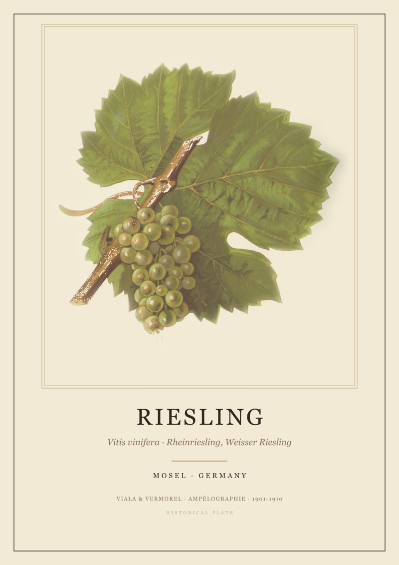 Riesling
The print from this article · from €29.95
View the print →
Riesling
The print from this article · from €29.95
View the print →



New regions and 10% off your first print.
One email now with your code. No noise after.